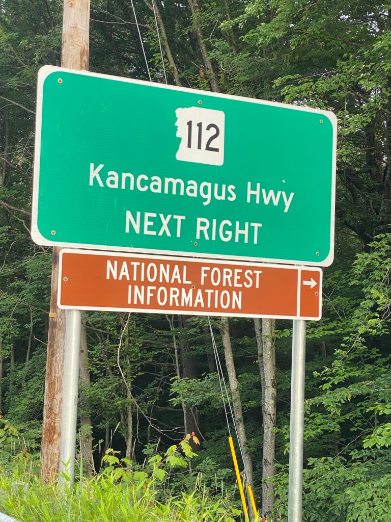
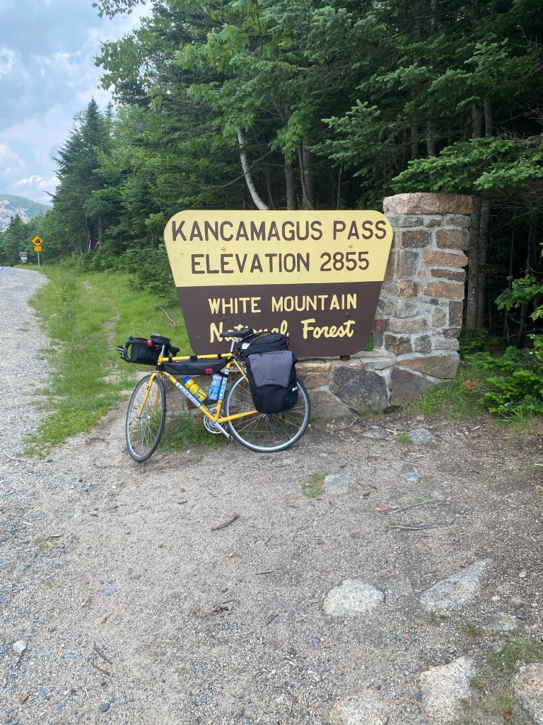
I left just after 6 a.m. this morning for the Kancamagus Highway. Forty miles and about eight hours later, I reached Lincoln, NH, on the other side of the Kancamagus Pass. Yes, the climb to the top of the pass, at 2,855 feet, was hard, but not nearly as hard as I had made it out to be in my head, or as it appeared in that towering spike on the elevation map. And the 10-mile downhill ride at the end of the day was a great reward for all the uphill pedaling I did this morning. There are some other climbs ahead of me in the next few days–notably the intersection with the Appalachian Trail and the Middlebury Gap–but none of them are as ominous as the Kancamagus Pass, and so I know they are doable.
I met a guy named Karl from San Francisco (and originally from India) coming the other way on the Kanc this morning. Karl was on Day 66 of a solo cross-country trip, starting from San Francisco. His goal is to make Portland, Maine in the next couple days. Karl reminded me of my great long-time friend and legendary cross-country cyclist Karl H. back home. Here is Karl from San Francisco, looking a little battle-weary.
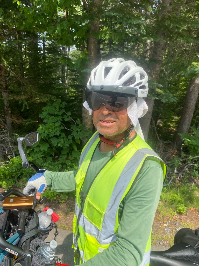
Karl mentioned he had been run into a bridge by a strong wind and showed me where it had scuffed up his bike seat. He also pointed out some damage to his rear tire caused by a limestone bike trail. He said he was at a hotel in Vermont a few days ago that had almost needed to be evacuated because of flash flooding in the area. Other than that, he seemed to be faring rather well, and to be making much better time than I will be at the rate I am going. He said he had had no flat tires the entire way.
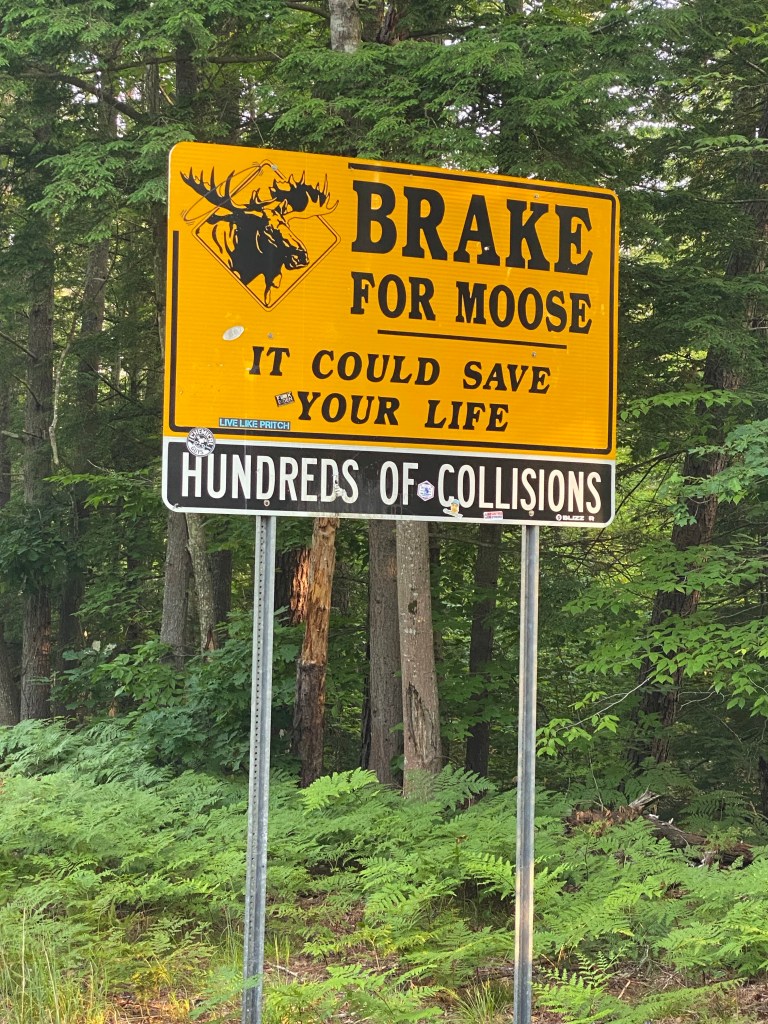
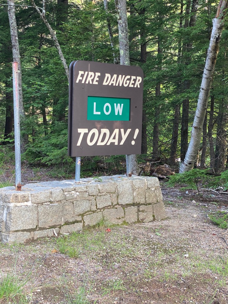
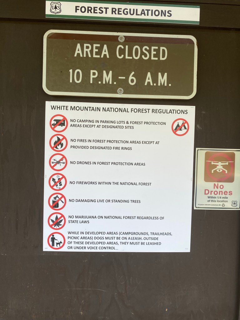
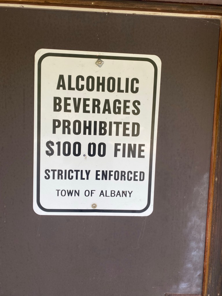
I thought you might enjoy some signs along the route that help tell the story of my day in the White Mountain National Forest.
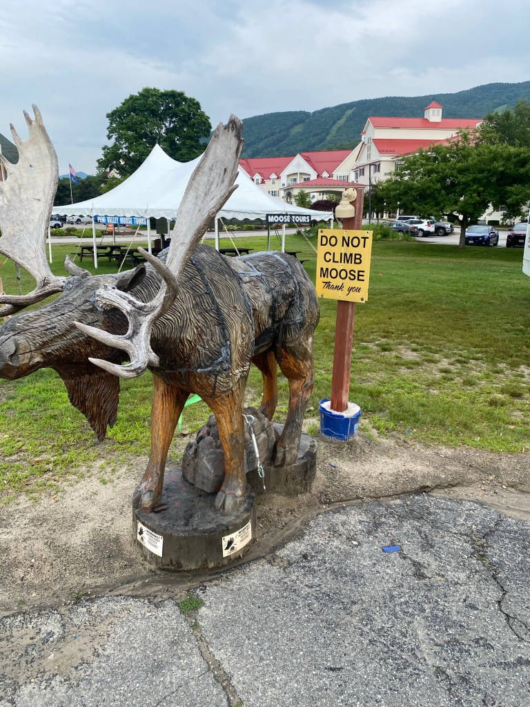
Thankfully, I had no moose encounters, other than one in the town of Lincoln which I’ll tell you about later.
No surprise that fire danger is low right now, given the very rainy weather lately.
Lots of rules in these national forests.
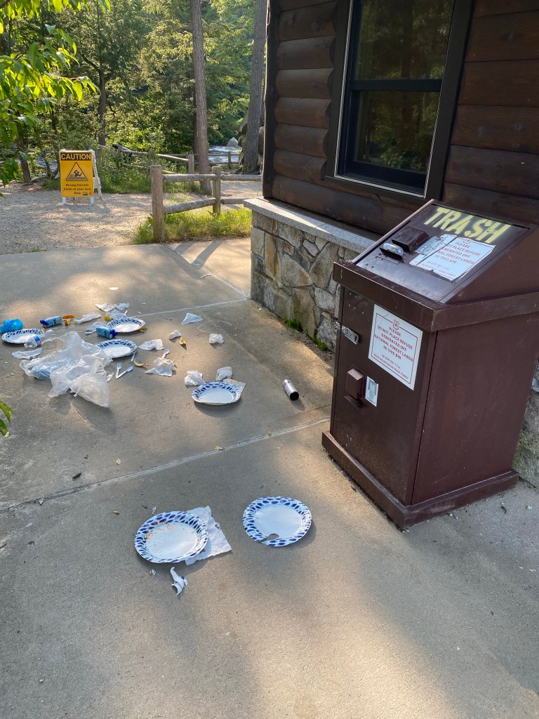
Apparently, some of the wildlife think that the receptacle marked “trash” can be used for both deposits and withdrawals. I came across this early this morning.
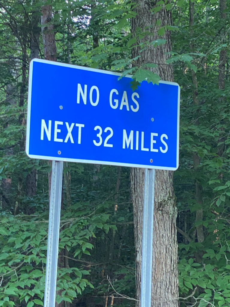
There are no amenities for a long stretch along the middle of the route, and the highway is for the most part in a cellular dead zone.
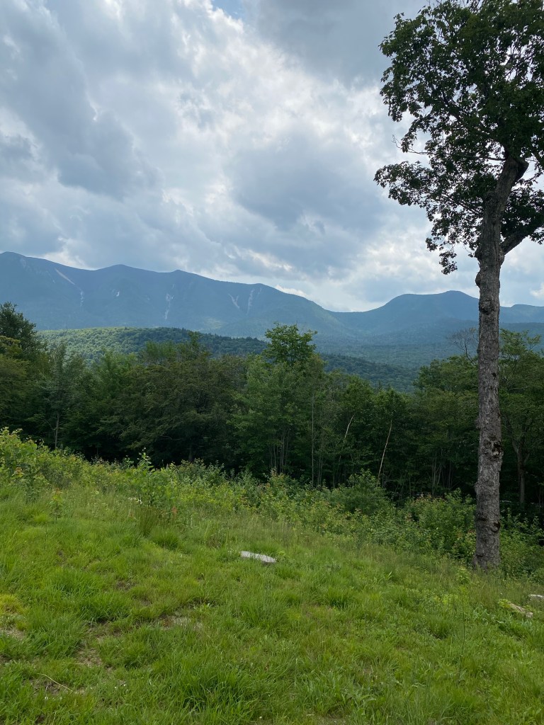
At the high point of the pass.
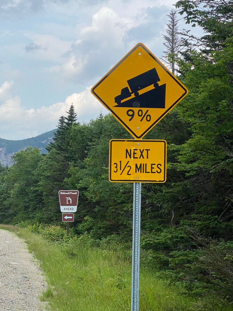
It’s all downhill now! I stopped every few minutes to let my brake pads cool down.
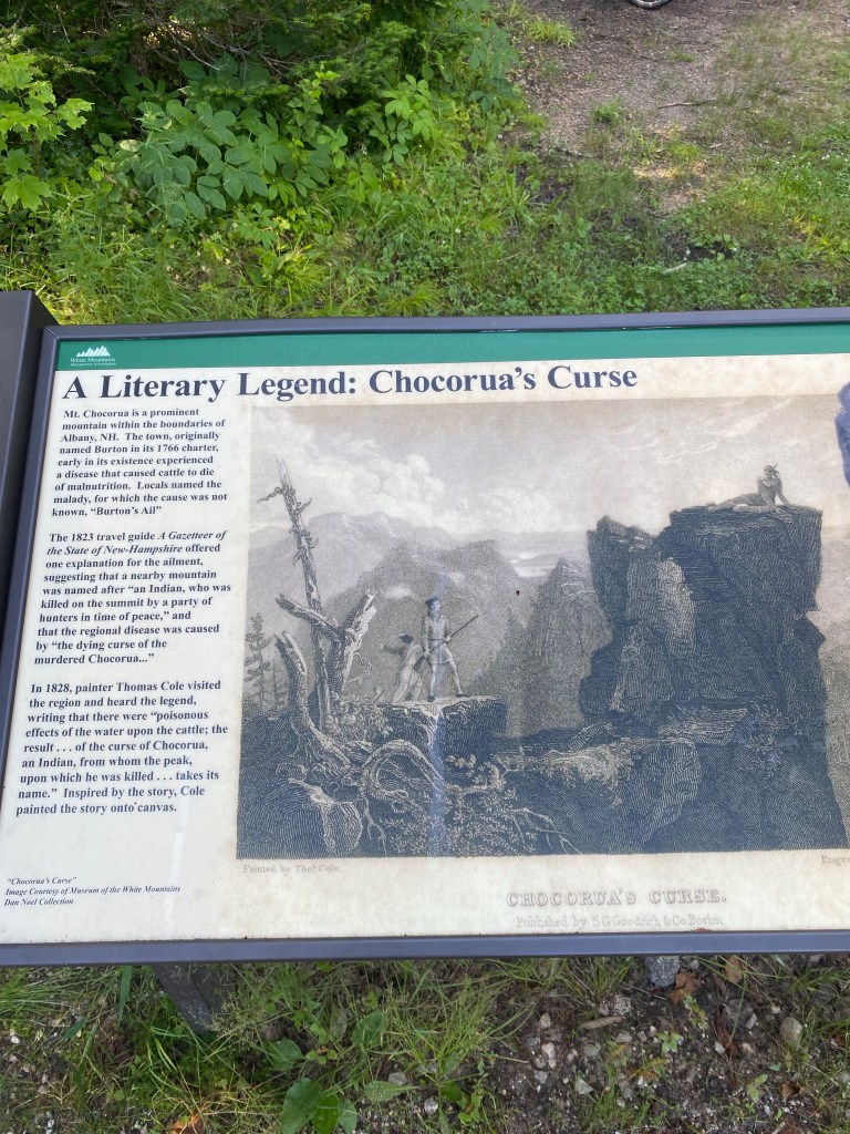
More fascinating legends that appear to be intertwined with so much of the history of this area.
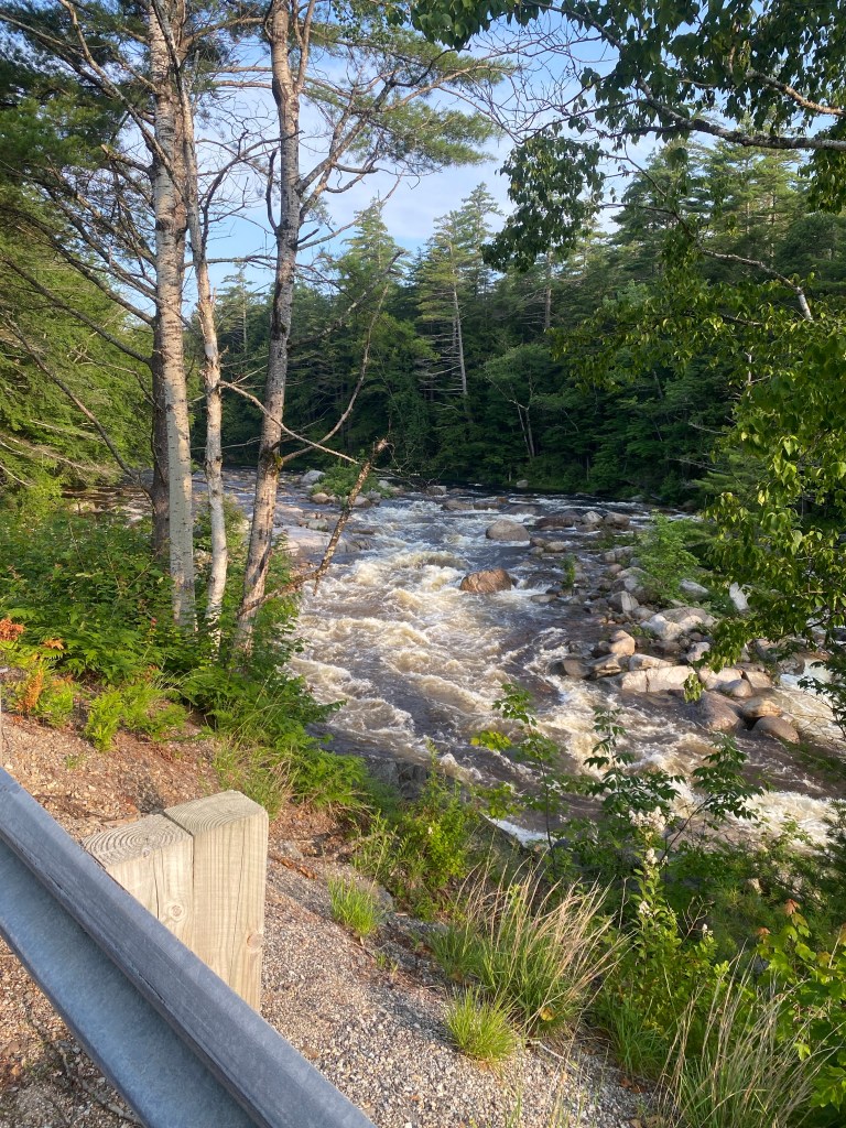
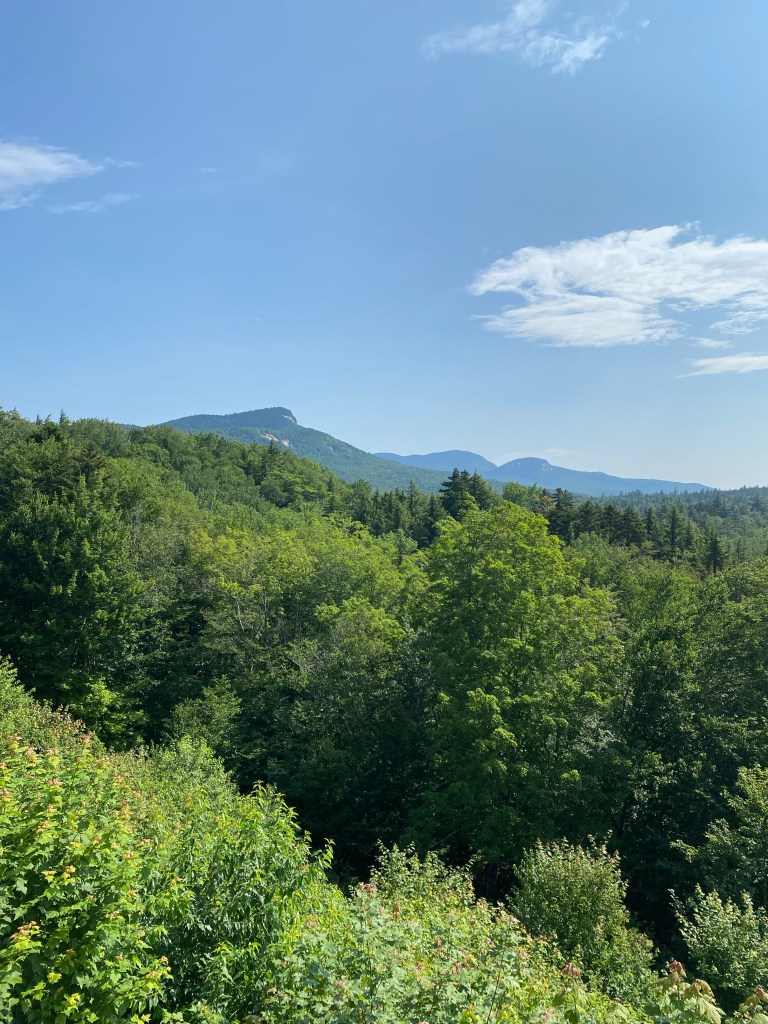
Here are a few photos showing some of the breathtaking beauty of the area that also show how quickly the weather conditions can change here. It was supposed to be mostly sunny in towns on both sides of the pass, but it got pretty windy at the high point and some storm clouds blew in rather quickly. This first photo shows the Swift River, which I rode alongside for much of the early part of the morning.
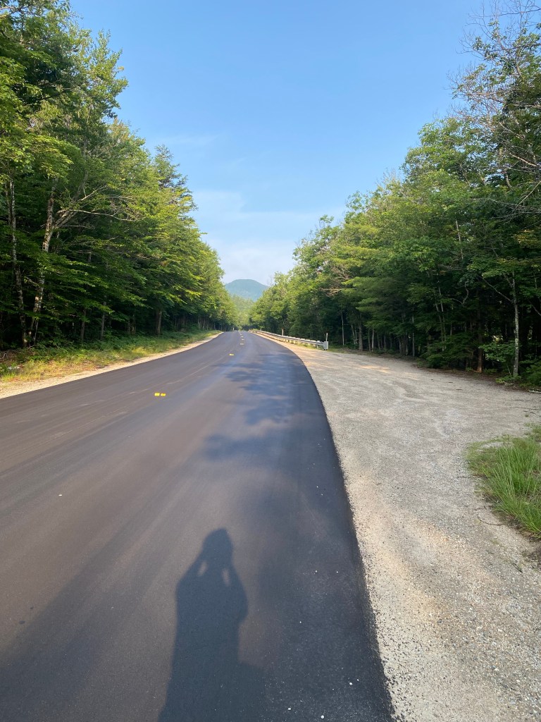
The first 10 miles or so of the highway was freshly-paved–nice!
The highest point in this photo is known as “Green’s Cliff,” which the Forest Service sign referred to as having a “glacier-plucked face.”
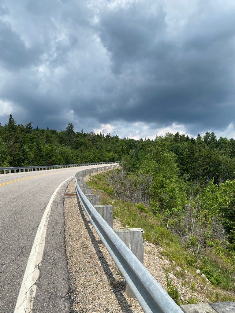
These clouds came from out of nowhere in a big hurry.
Here was my one moose encounter for the day. This moose advertises the Pemi Valley Moose Tour Company, which has been leading “moose tours” for 25 years. According to their website, they go out 120-130 times a year looking for moose and have a 95% success rate in coming across a moose on a tour.
My plan is to stay in Lincoln both tonight and tomorrow to plan my future route and places to stay over the next few days, and to make sure that none of the Adventure Cycling route I am using will have me headed into the areas affected by the flash floods we’ve been experiencing in this part of the country.

Leave a comment