At breakfast this a.m. (Friday, 9/1) at the Ironwood Day’s Inn, I met Greg and Susie, a couple from the Twin Cities who also do some biking and were curious about my trip. Greg and I exchanged contact information and agreed to prompt each other next Spring to ride in the MS-150, a bike ride from the Twin Cities to Duluth that raises funds for multiple sclerosis research. This bike event has been in existence for over 40 years and since its original launch in Minnesota has been successfully emulated in similar MS Society events around the country.
I rode 42 miles today from Ironwood to Ashland, WI (pop. 7,918). My route was mostly along Hwy 2, which runs roughly parallel to the shoreline of Lake Superior, but as I’ll explain further in a moment, wasn’t quite close enough to yield a view of the lake until I actually arrived in Ashland.
About an hour west of Ironwood, I came across this marker, erected in 1962, informing us that the area “was boomed” beginning with the discovery of iron ore deposits in 1872. Less than 15 years later, there were 54 mines in the area. Mining stocks rose 1,200 percent for a period but then a market crash in 1887 ended this “extravagant prosperity.”
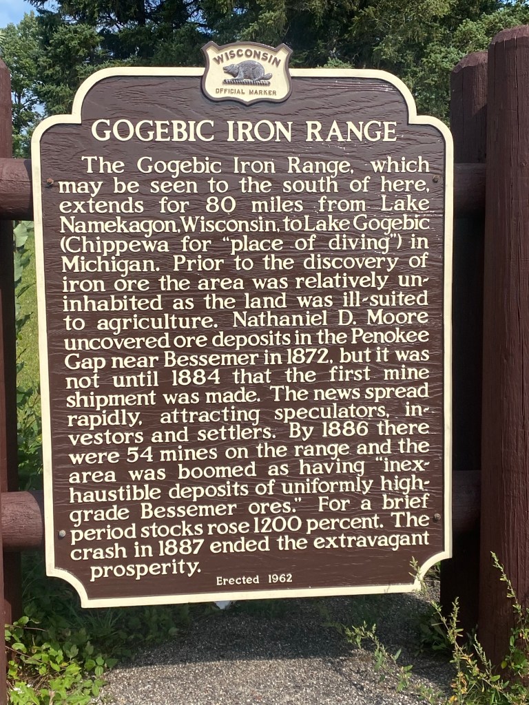
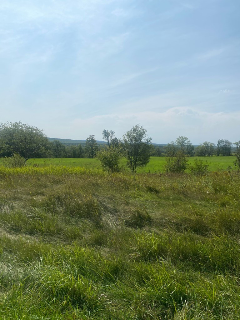
The sign indicates that the Gogebic Iron Range may be viewed to the south of the sign. This photo shows the view to the south. It does show some elevation, but nothing particularly dramatic.
I was anxious to catch a glimpse of Lake Superior. I had seen Lake Superior before, of course, but this was the only one of the Great Lakes that I hadn’t yet seen on this trip. In anticipation, I excitedly approached the sign below promising a “scenic view” of the Apostle Islands, comprising 22 islands that form an archipelago 30 miles long and 18 miles wide.
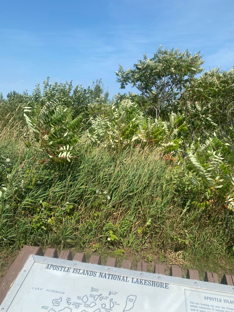
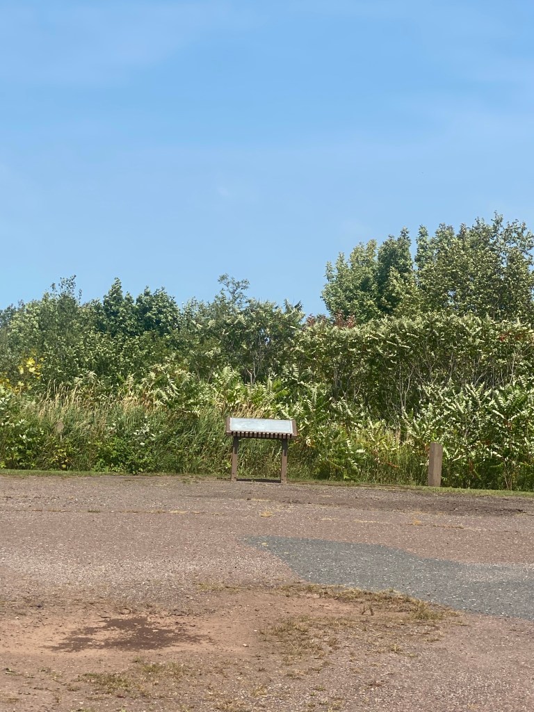
The sign begins with, “you are looking out over the Chequamegon Bay region and Apostle Islands,” but it turns out that brush now stands between the viewing area and the vista beyond. My glimpse of the lake would have to wait–here is all you can see looking out over the sign.
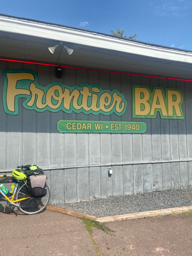
I was surprised at how little commercial development of any kind (service stations/convenience stores, restaurants, etc.) there was heading west from Ironwood. I finally saw the Frontier Bar and RV Park about 16 miles into my ride and stopped there for lunch. I was impressed that it has been here for more than 80 years.
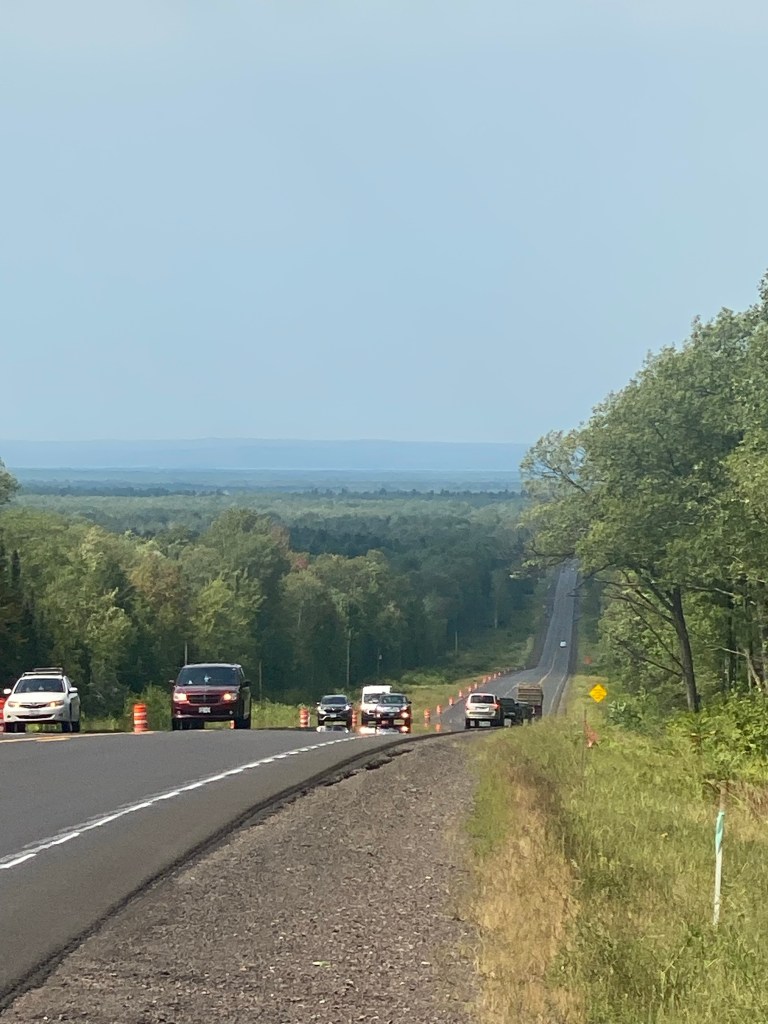
You might think that a road like Hwy 2 that roughly follows the shoreline of Lake Superior would be pretty flat. It is flatter than some terrain I’ve seen, but as you can see in this photo, there are some hills–and also stretches with the ever-present road construction I’ve seen almost daily on this trip.
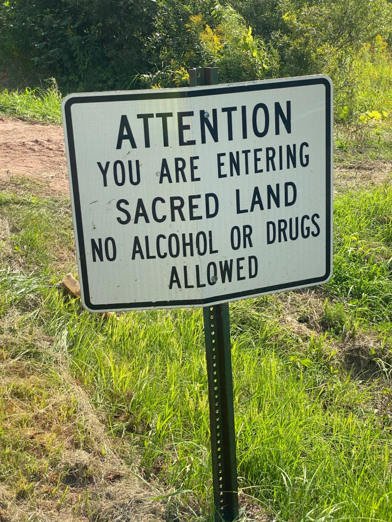
About 20 miles into today’s ride, I had a 15-mile stretch that took me off Hwy 2 and into Mashkiiziibii, home of the Bad River Band of the Lake Superior Chippewa Indians.
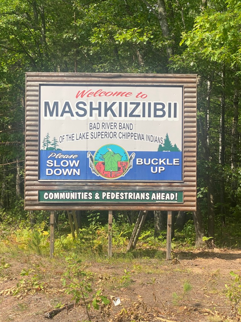
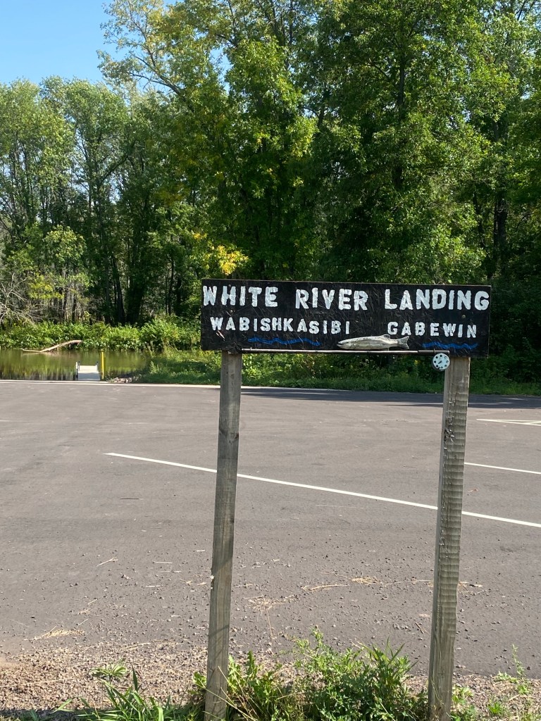
I saw this sign not long after, followed by a sign at a landing on the White River.
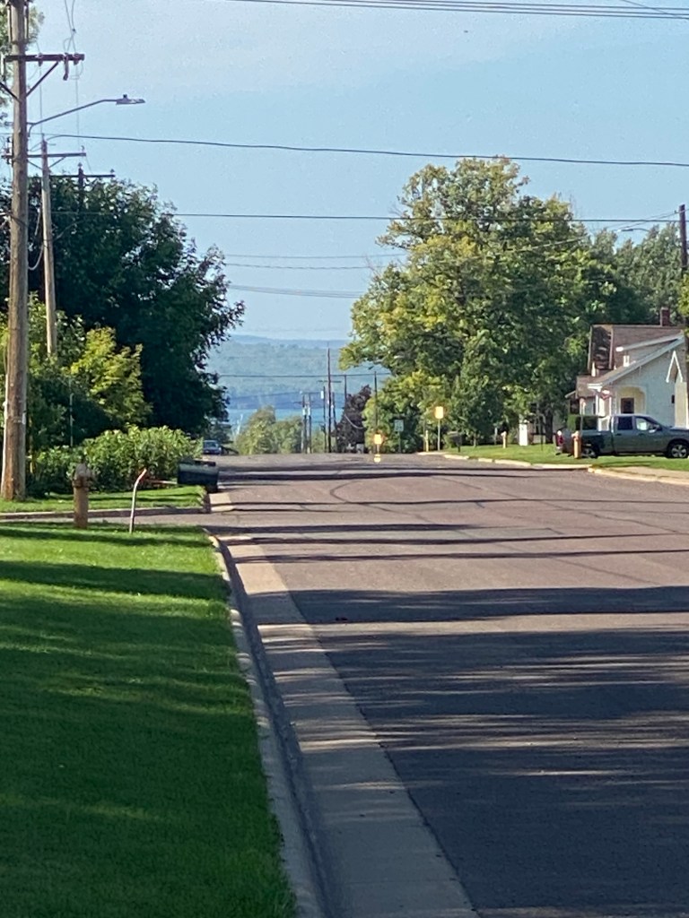
I picked up the Tri-County Bike Trail about five miles from Ashland and was able to ride on bike trails to within a block of my hotel, a very relaxing way to enter the town. As I entered the trail, I finally caught sight of Lake Superior and took this photo.
Ashland is a very charming town, but the best part about it is that Trudi arrived there from the Twin Cities about 7 p.m. We enjoyed a nice dinner only a block away from our hotel. It was great to see her again–we hadn’t been together since she headed off for a flight home from Buffalo, NY on July 30. Our reunion was long overdue! Thankfully, she’ll be able to follow my route until this coming Tuesday, September 5, when she’ll need to drive back to the Twin Cities to get ready to resume her teaching schedule next week. Tomorrow (Saturday, 9/2) is supposed to be very warm, near 90 degrees, and I’ll be heading about 40 miles west to an Airbnb near Brule, WI. Trudi will be going there too but will do so in the comfort of her air-conditioned car.

Leave a comment