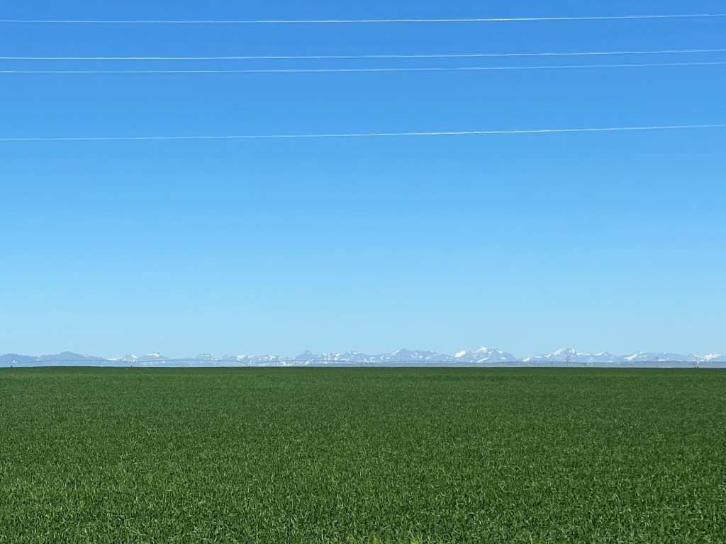
…and the more impossible it looks that you could ride a bicycle through them. I’m talking about the Rocky Mountains, of course. But my maps, and my Chief Navigator Trudi, say this is actually possible, and so that’s my plan over the next couple days. Today’s ride took me 33 miles, mostly north, from Valier to Cut Bank (pop. 2,869). The winds were quite light, which made me feel like I was on a different planet. It was a beautiful day to be out on a bike in the wide-open countryside, even when I was climbing up a hill. Here was a view from the road looking west across many acres of farmland toward the mountains. I’m not sure what the crop planted here is, but there was a lot of it.
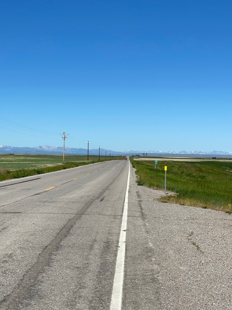
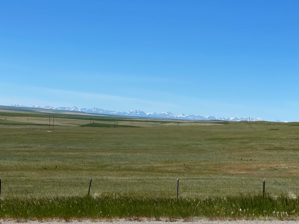
Here are a couple of views as I got closer to Cut Bank.
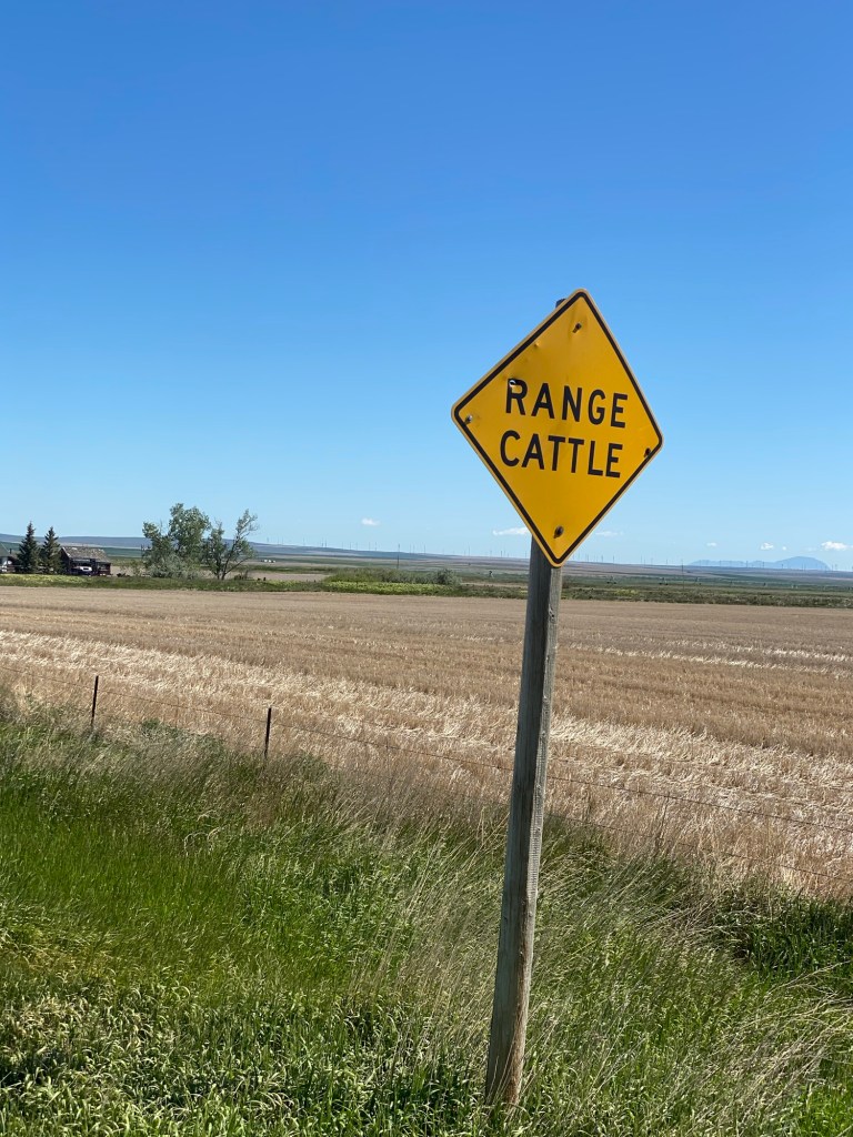
I saw this “Range Cattle” sign on my route. I believe this means the area is rangeland where cattle are allowed to roam freely regardless of land ownership.
You might be interested to know that when I pass horses or cattle on my bike, they almost always look up and turn their heads to follow me as I ride by. A couple of times, as many as a dozen cattle have actually started to run along in my direction–once for almost a minute when I was riding 12-13 mph. I felt like I had started a stampede and was amazed at how fast these big animals can run. In all of these instances, the cows or horses were behind a fence. I think I would be a bit anxious if a cow or horse was running alongside me on the open road.
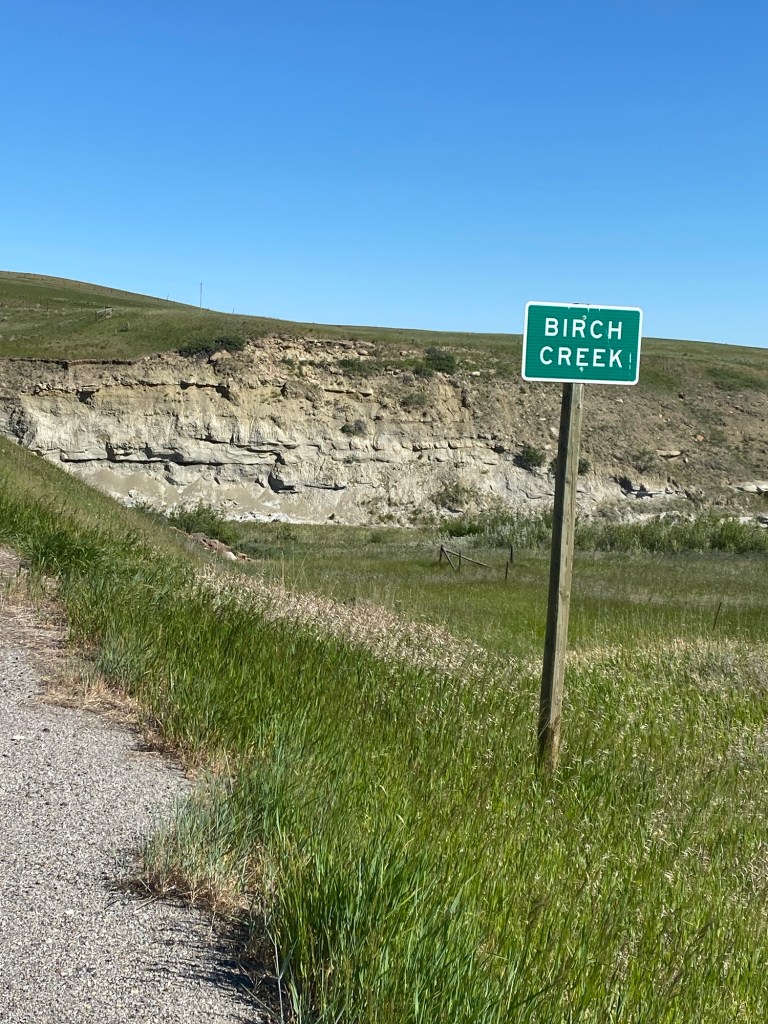
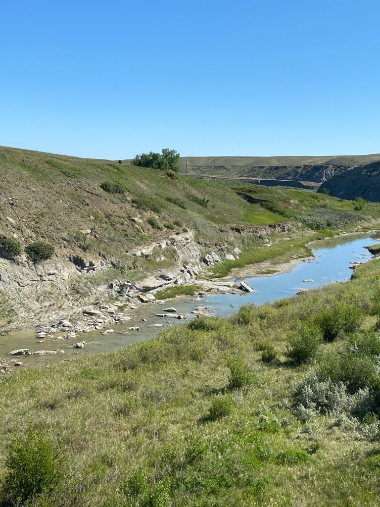
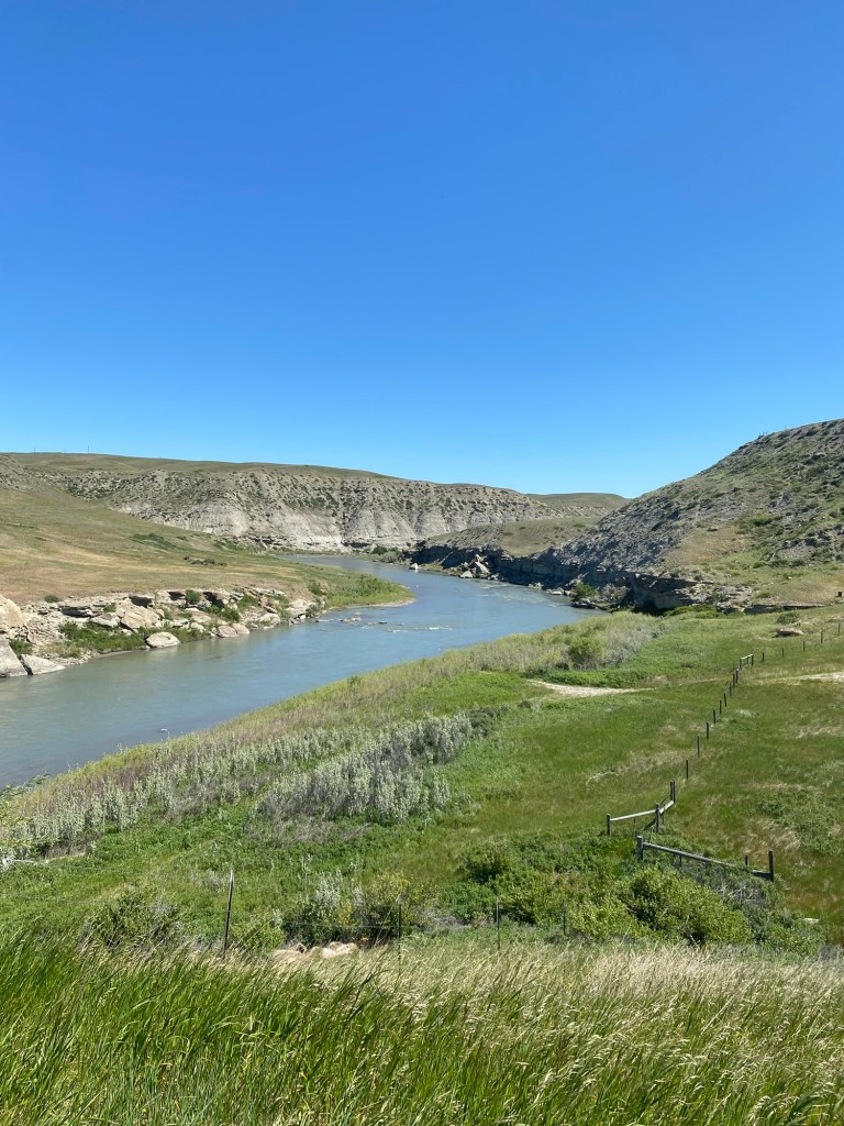
I passed a couple waterways on today’s route, Birch Creek and the Two Medicine River.
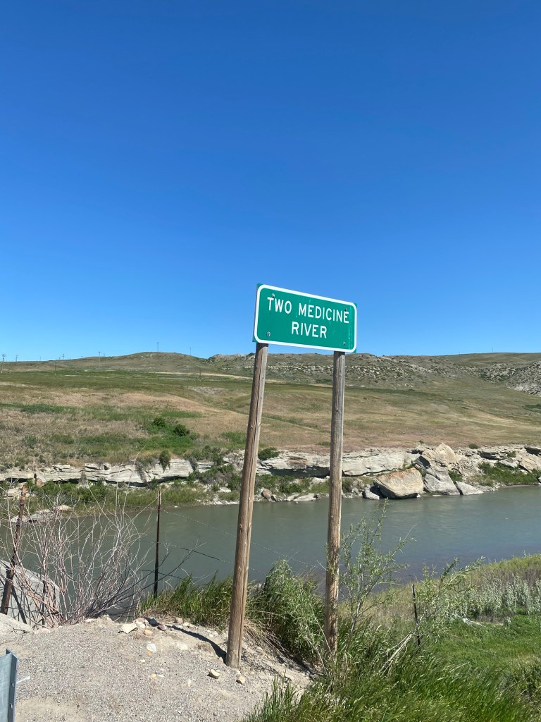
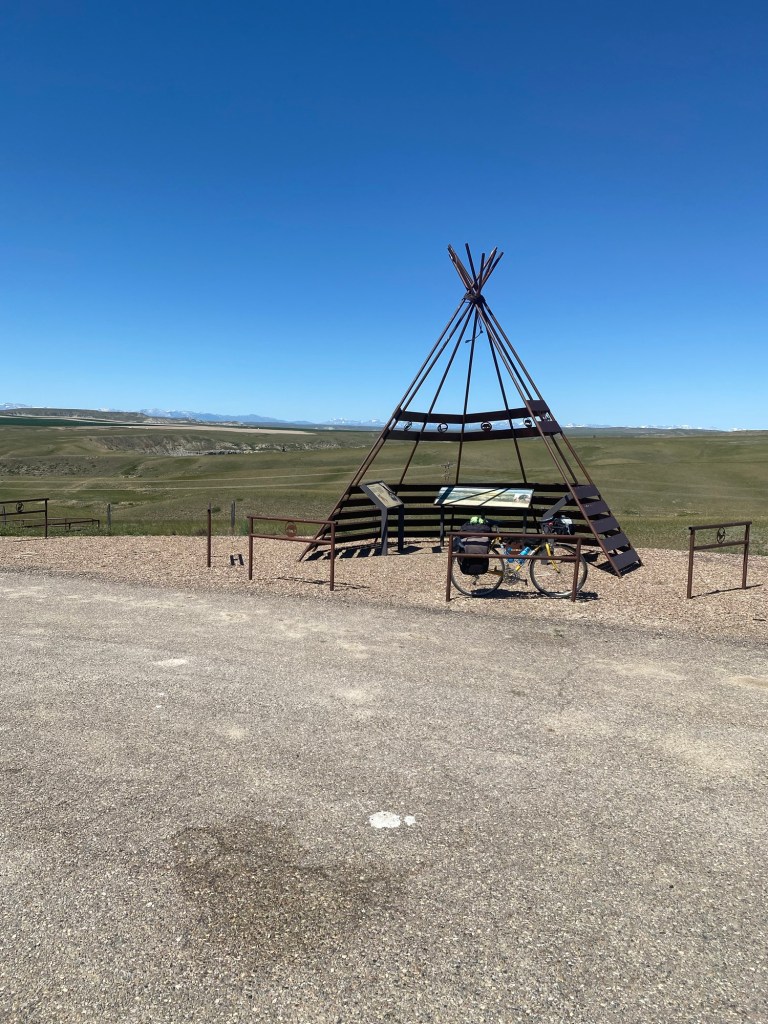
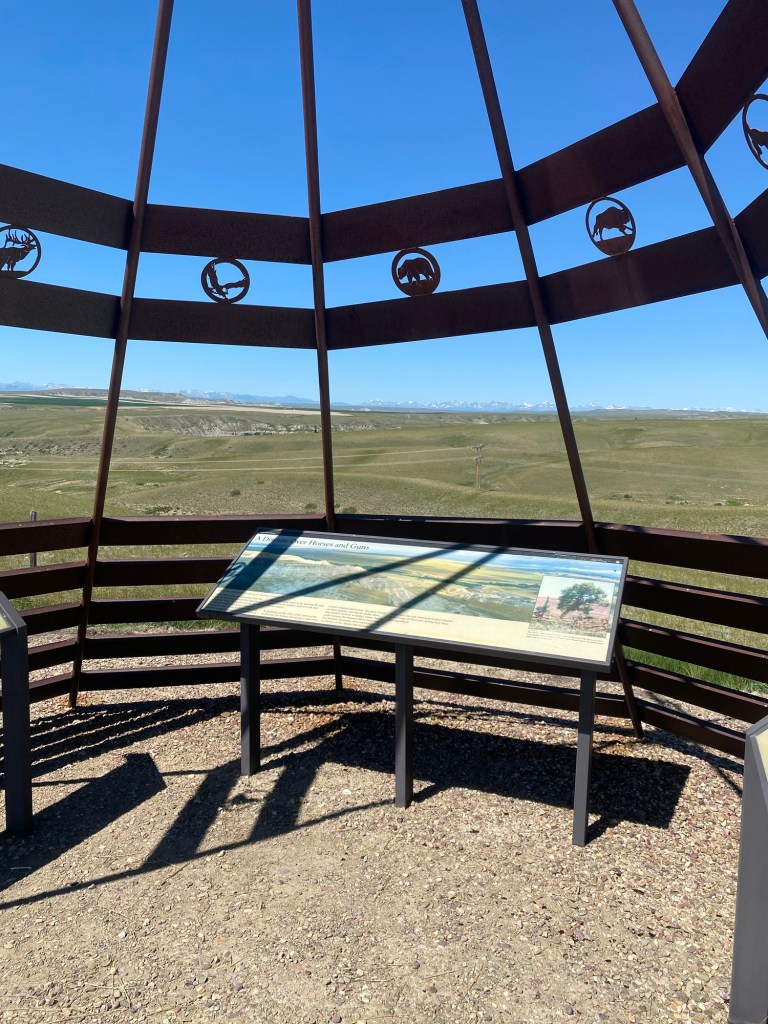
Just after I crossed Two Medicine River, I came across this historical marker, which told the story of an incident involving the explorer Meriwether Lewis and three men from the Corps of Discovery (also known as the Lewis and Clark Expedition) in 1806. On July 26, Lewis and his party encountered eight Blackfeet American Indians near this site. The two parties decided to camp together under the bluffs of the Two Medicine River’s south bank, and in the evening, the men gathered to talk and smoke tobacco in the Indians’ shelter. At daybreak, however, an incident occurred in which the Indians attempted to take some of Lewis’ party’s weapons and horses, resulting in a fight in which one of the Indians was killed and another was severely wounded. These were the only Indian casualties during the course of the Corps of Discovery’s three-year expedition.
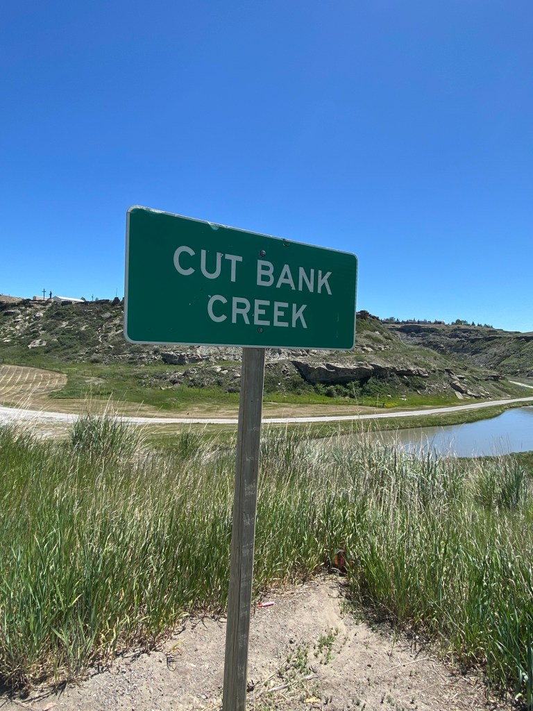
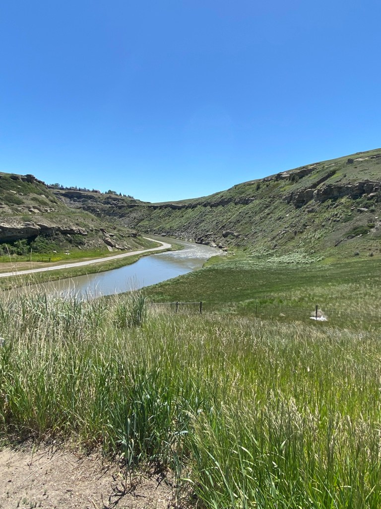
I crossed Cut Bank Creek as I headed up a fairly steep climb on Highway 2 into Cut Bank. I needed to rest a bit as I was making my way up the hill, but the creek offered me the pretense of stopping for a photo opportunity.
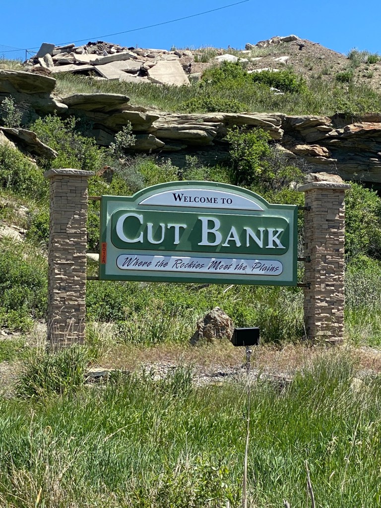
The welcome sign for Cut Bank refers to the city’s location at the foot of the Rockies, “Where the Rockies Meet the Plains.”
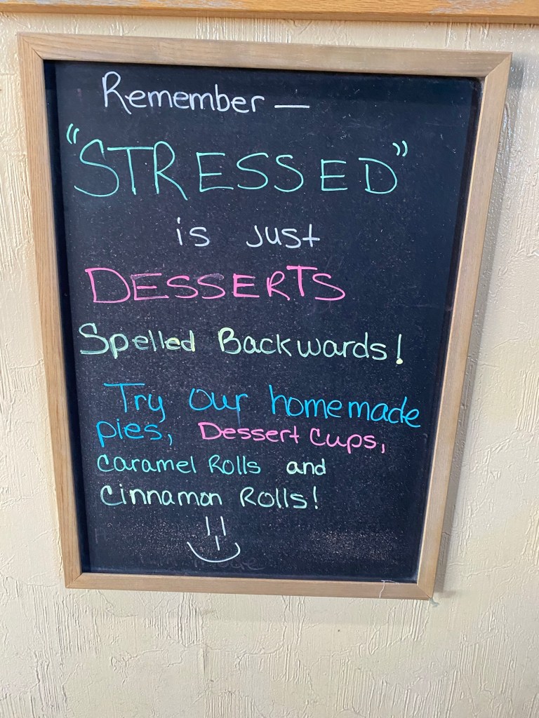
I arrived at 1 p.m., too early to check in at the motel, but just in time for lunch at Village Dining and Lounge. I ordered the Philly Cheese Steak Sandwich, which my waitress said was her favorite item on the menu. I wasn’t feeling particularly stressed out, but also decided to order some coconut cream pie for dessert after seeing this sign in the entryway to the restaurant.
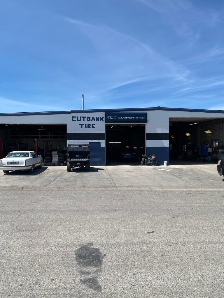
I was hoping to get my tire pressure checked and reinflate them to 90 psi, but Cut Bank doesn’t have a bike shop. When I stopped at Norman’s Outdoor Sports Store to see if they could help, I learned they don’t service bikes or have a bike pump. They helpfully suggested I try Cut Bank Tire a few blocks away. I figured this was a long shot, but Dave at the tire shop was able to help me out–thanks to the adapter I carry that converts my Presta valves to a standard (Schrader) tire valve.
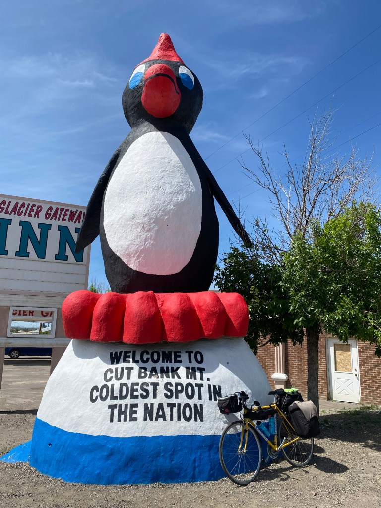
I believe some of you have been disappointed that I haven’t sent along any photos of large animal statues in a while. Well, your wait is over! Here is a giant penguin perched on the eastern edge of town, announcing Cut Bank’s claim to be the Coldest Spot in the Nation. Cut Bank receives the brunt of arctic air masses that move south along the eastern side of the Continental Divide, and when this happens, Cut Bank is frequently the coldest place in the lower 48 states. The coldest temperature in the town’s history was minus 47 degrees Fahrenheit, recorded on February 15, 1936.
I have a 50-mile ride scheduled tomorrow (Fri. 6-14), from Cut Bank to East Glacier, MT (pop. 363). I’ve also moved on to a new Adventure Cycling map that includes an elevation map showing I will have a steady climb all day. On Saturday, I will continue uphill and cross the Continental Divide at Marias Pass. The mountains have loomed larger and larger as I’ve seen them off in the distance over the past week, but I am now destined to confront them face-to-face.

Leave a comment