Yesterday (Fri., 6-14) I had a wild windy day climbing 50 miles into the Rockies from Cut Bank to East Glacier, MT (pop. 363). I left my motel just after 8 a.m. in moderate headwinds of 10-20 mph, but over the course of the day these doubled in intensity, at the same time that I encountered steeper, and longer, hills–a double whammy! By the time I rolled into the Mountain Pine Motel in East Glacier I was really wiped out. But I wasn’t too tired to enjoy dinner at the Whistle Stop Restaurant a mere half-block from my motel, where I devoured one of their “rice bowl” dinners–something I haven’t seen on a menu since leaving Minneapolis a month ago. It was great!
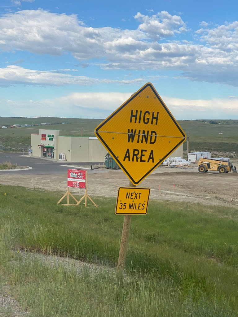
I can’t say I didn’t have fair warning about the winds I was to encounter. Here is a sign I saw just as I was leaving Cut Bank, cautioning me about the next 35 miles of my route on Hwy 2.
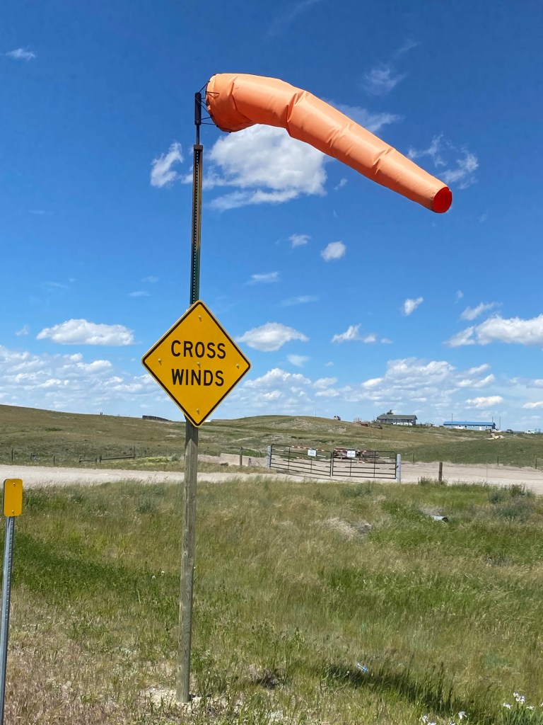
In addition to the headwinds, I was blasted by some fierce crosswinds from time to time, especially while crossing bridges.
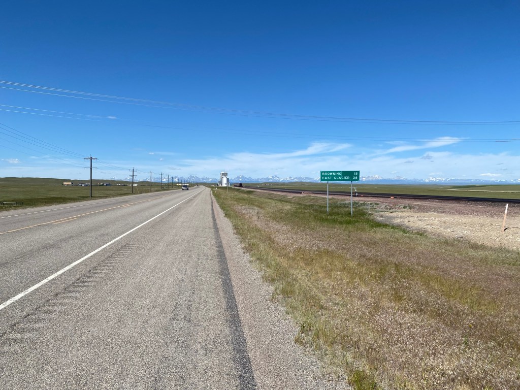
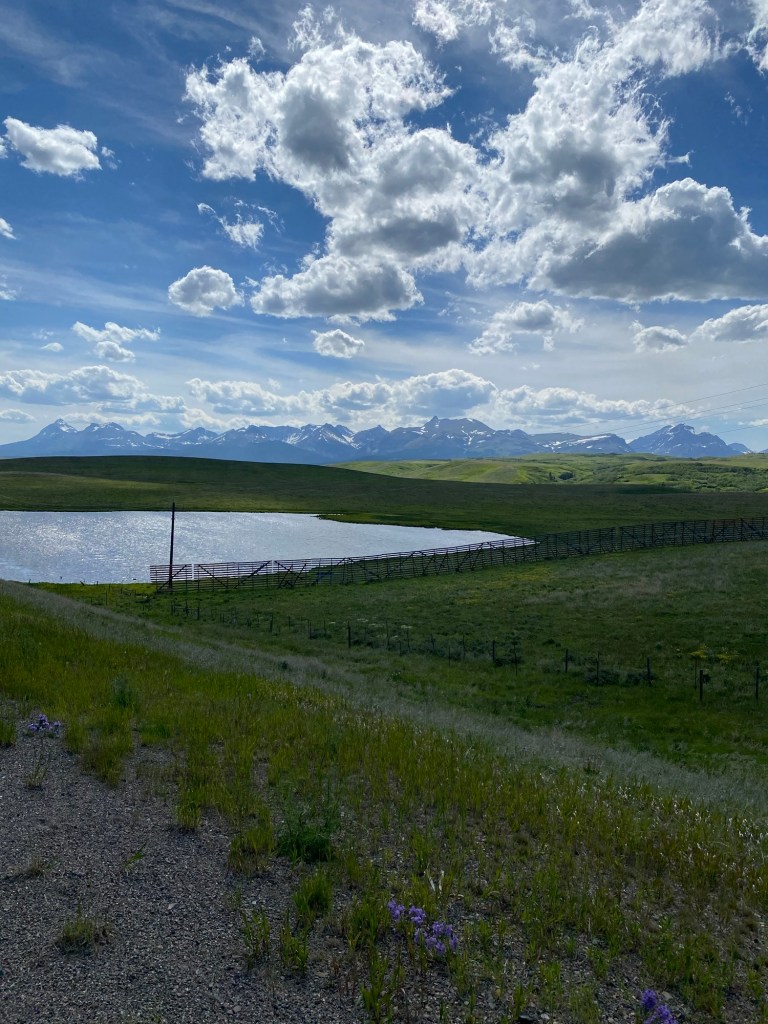
As you can see, the mountains were still off in the distance when I was 28 miles from East Glacier. That would soon change.
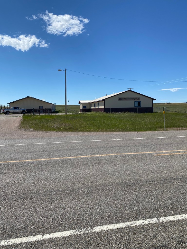
There are no amenities between Cut Bank and Browning, MT (pop. 1,016)–i.e., no place to observe a call of nature in a civilized manner. But thankfully, when I stopped in at the Grass Winds Veterinary Clinic about halfway between Cut Bank and Browning to see if I could use their restroom, they kindly said yes.
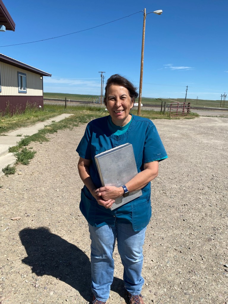
I also had the chance to meet one of their veterinarians, who was curious about my trip. She said I could take her photo but was concerned she would look tired since she had been up since 1 a.m. dealing with a patient emergency. I am sorry to say I didn’t catch her name.
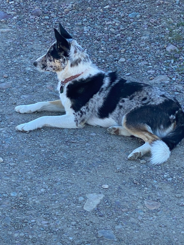
I also had the pleasure of meeting a couple of the “house pets” at the clinic, including this dog (whose name I likewise failed to get). I was happy to let him lick my legs, thinking that this might help ward off the feral dogs I was to encounter in Browning (more about that shortly) or the dogs that several times chased me as I rode by. I am sorry to say that this did not seem to faze any of the barking dogs who furiously ran after me that afternoon.
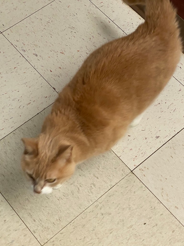
When I entered the clinic, this cat jumped off its perch on the windowsill to come check me out. He quickly became bored, however, and did not try to lick my legs. (I neglected to get the cat’s name, either.)
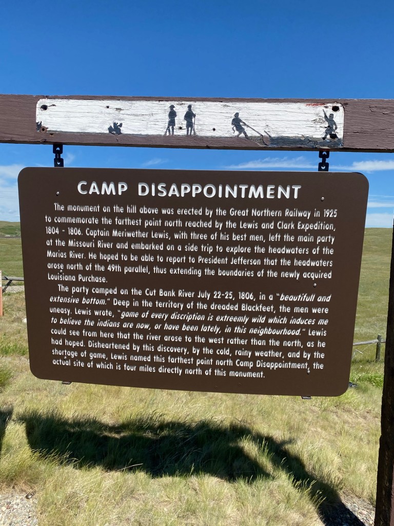
This marker commemorates the northernmost point reached by the Lewis and Clark Expedition, where in 1806 Captain Meriwether Lewis unsuccessfully sought to demonstrate to President Jefferson that the headwaters of the Marias River arose north of the 49th parallel, effectively extending the boundaries of the recent Louisiana Purchase. His dejection over this failed mission is reflected in his name for the site, Camp Disappointment.
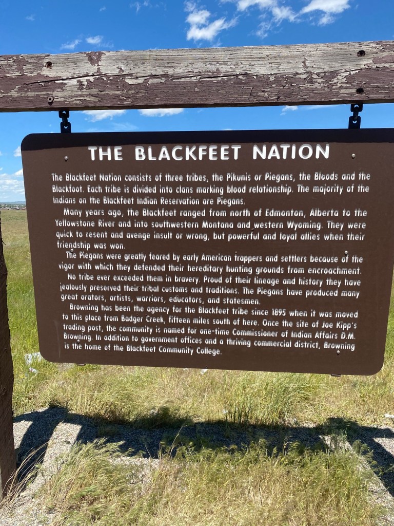
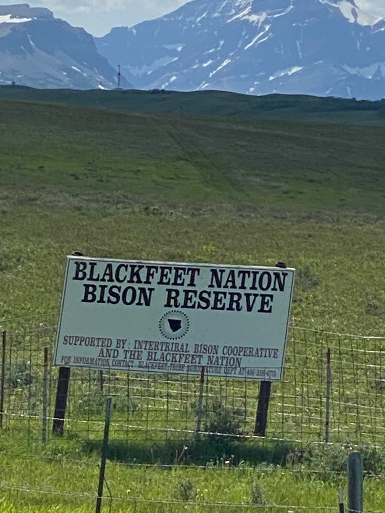
The Blackfeet Indian Reservation was off to my right along virtually my entire route today. The Blackfeet Nation consists of three tribes, and according to this marker, one of them, the Piegans, were “greatly feared by early American trappers and settlers because of the vigor with which they defended their hereditary hunting grounds from encroachment…the Piegans have produced many great orators, artists, warriors, educators, and statesmen.”
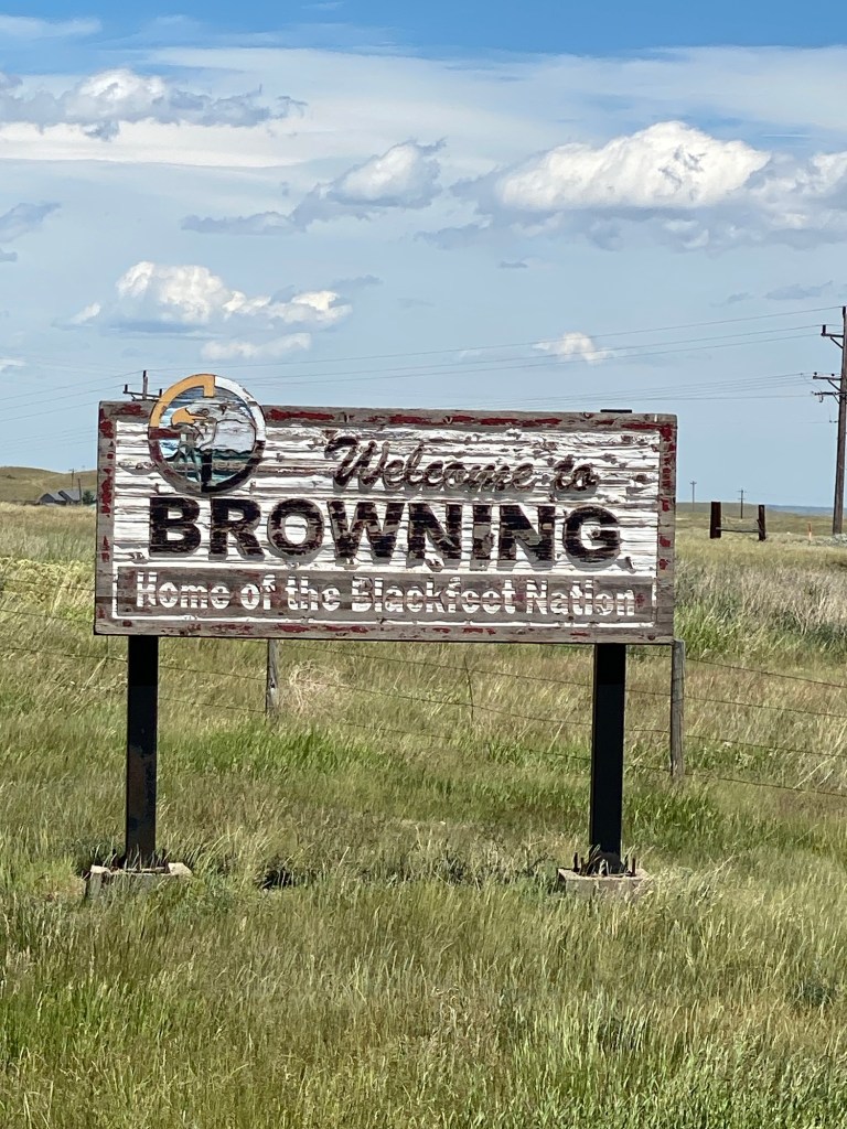
Around 1 p.m., I entered Browning, anxious to get out of the wind, find something to eat, and charge my phone. According to my Wikipedia research, Browning is a former town and unincorporated community that is headquarters for the Blackfeet Indian Reservation. Apparently, the town lost its incorporated status in 2018, when its government collapsed financially.
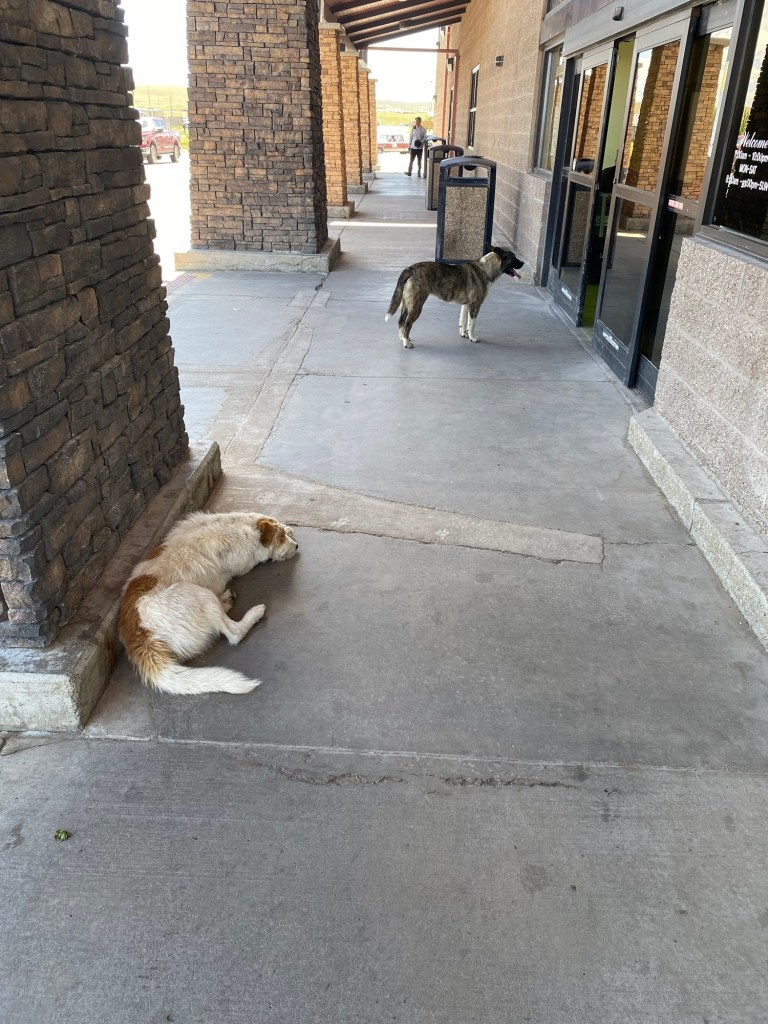
I stopped at a grocery store in Browning right on Hwy 2, where I had lunch at their restaurant. I had heard reports of large numbers of feral dogs in Browning, and this was confirmed by my experience at this store, where at one point I counted seven dogs milling around the entrance. There was a lull in the action when I snapped this photo of just two of them.
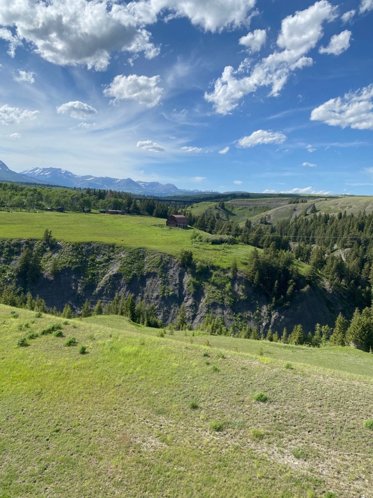
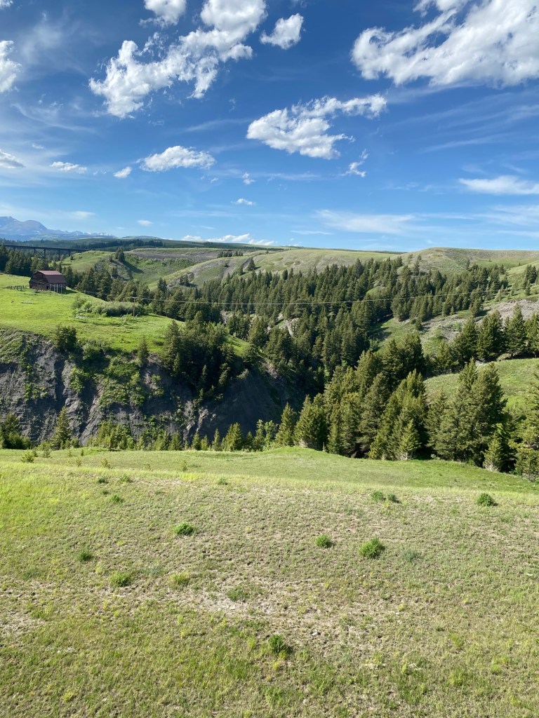
There was an exceptionally taxing hill coming out of Browning, and I almost wished I hadn’t weighed myself down with mashed potatoes, gravy and fried chicken for lunch. The climb would have been a good workout under normal conditions but taking it on during a wind advisory is not something I would recommend. When I had the presence of mind to look at it, however, the scenery was breathtaking.
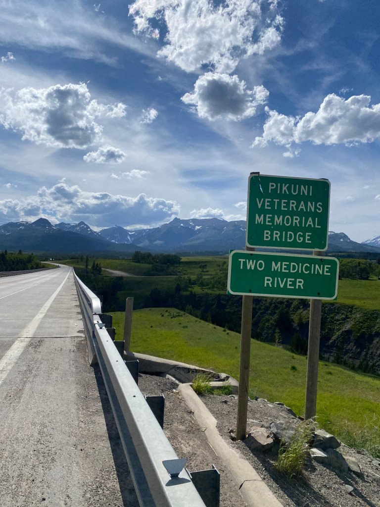
I had crossed the Two Medicine River on my way to Cut Bank the day before, and here I encountered it again, where it cuts a sizeable chasm into the rocky terrain.
As I checked in at the Mountain Pine Motel in East Glacier last night, I enjoyed meeting Ryan Sherburne, a third-generation owner of the motel, which has been in operation since 1947.
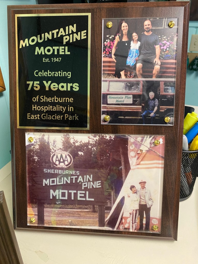
A former archeologist, Ryan took ownership of the motel following the death of his grandmother at age 99. Ryan lent me a book, Wild River Pioneers by John Fraley (2008), which includes some interesting stories about the area. Today (Sat. 6-15), I continued to head up into the Rocky Mountains to Marias Pass at the top of the Continental Divide (more about that in a later post). Fraley’s book (p. 3) describes the pass as a “lonely, cold, windswept place between the more open and rocky east side of the divide and the heavily timbered west side. Present towns on the east side such as Browning and Cut Bank are some of the windiest in the U.S.” Based on my own experience yesterday, I can personally attest that Mr. Fraley’s assessment is 100% accurate!

Leave a comment