I left for my ride over the Sherman Pass from Kettle Falls to Republic, WA (pop. 1,073) at 5 a.m., three minutes before sunrise, wanting to complete as much of the 41-mile trip in the cool weather early in the day. It was only in the mid-sixties when I left, but about 90 degrees when I got to Republic around 2 p.m.
I crossed the Columbia River about three miles west of Kettle Falls. I wanted to take a photo from the bridge, but there was no shoulder at all on the bridge and it didn’t feel safe to do this.
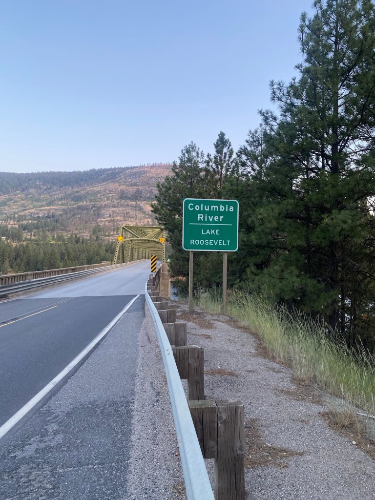
This is the best I could do taking a photo of the river before heading over the bridge.
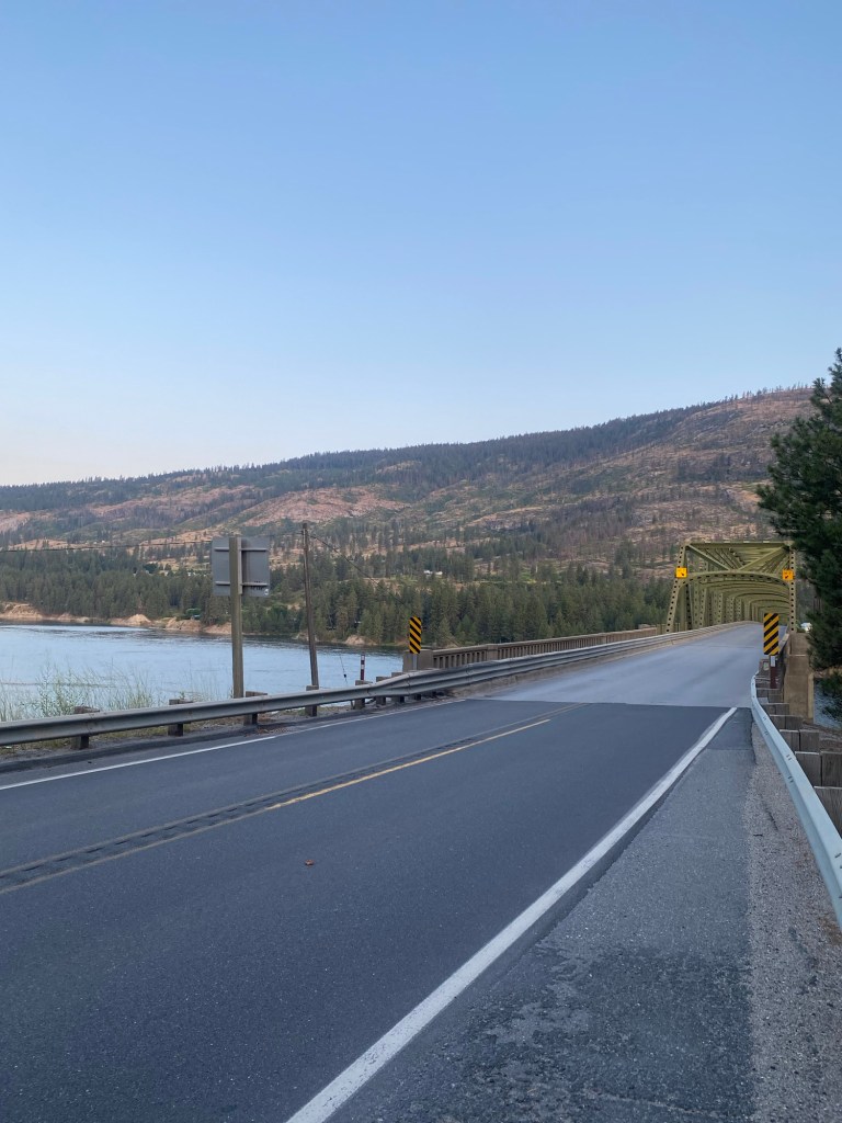
This was a view of the Columbia looking backwards once I was a couple miles up Hwy 20 heading to the pass.
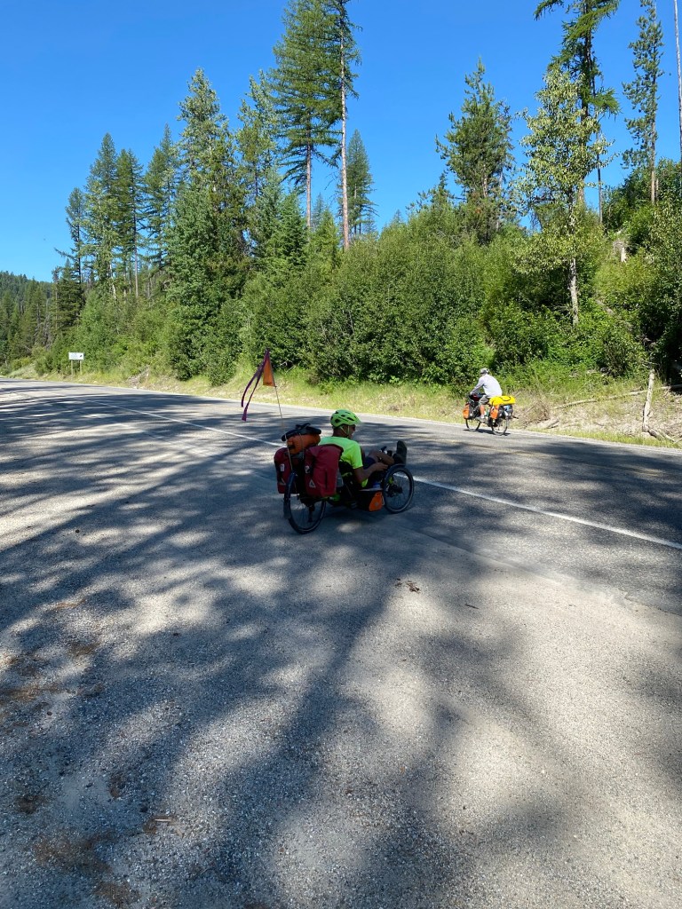
Barry and Bill, the cyclists who are taking the same east to west Adventure Cycling route I’m on, left an hour later than I did, but they are faster and don’t stop as often to rest or take photos. Bill passed me first, around 9 a.m. He said he had only needed to stop once, and by that time, I had already lost count of how many times I had needed a break. Barry, the guy riding the recumbent bike, said he’s not as fast as Bill climbing hills and he passed me about 20 minutes later.
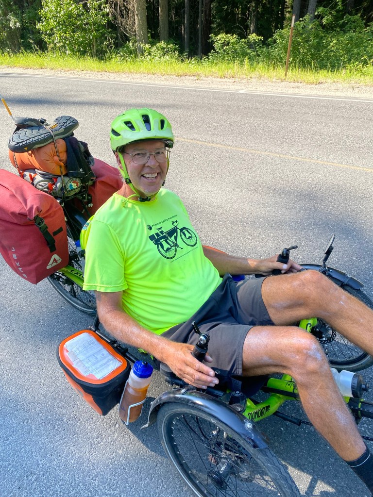
I caught up to them about 40 minutes later. The two of them were conferring about how far they wanted to ride today. I got a message from Barry later in the day saying that they had changed their minds about crossing the next pass beyond Republic (Wauconda Pass) today because “our knees had other ideas.” They are staying at an RV park on the east side of Republic, and I am staying at a motel in the center of town. Here the two of them are riding off after their conference this morning.
The climb to Sherman Pass was hard for me. It seemed especially steep at the beginning and for the last seven miles. In the middle, there was a stretch that felt more tolerable, but I was still pretty worn out when I got to the top.
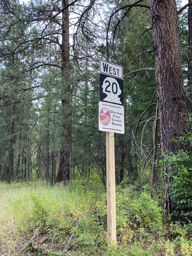
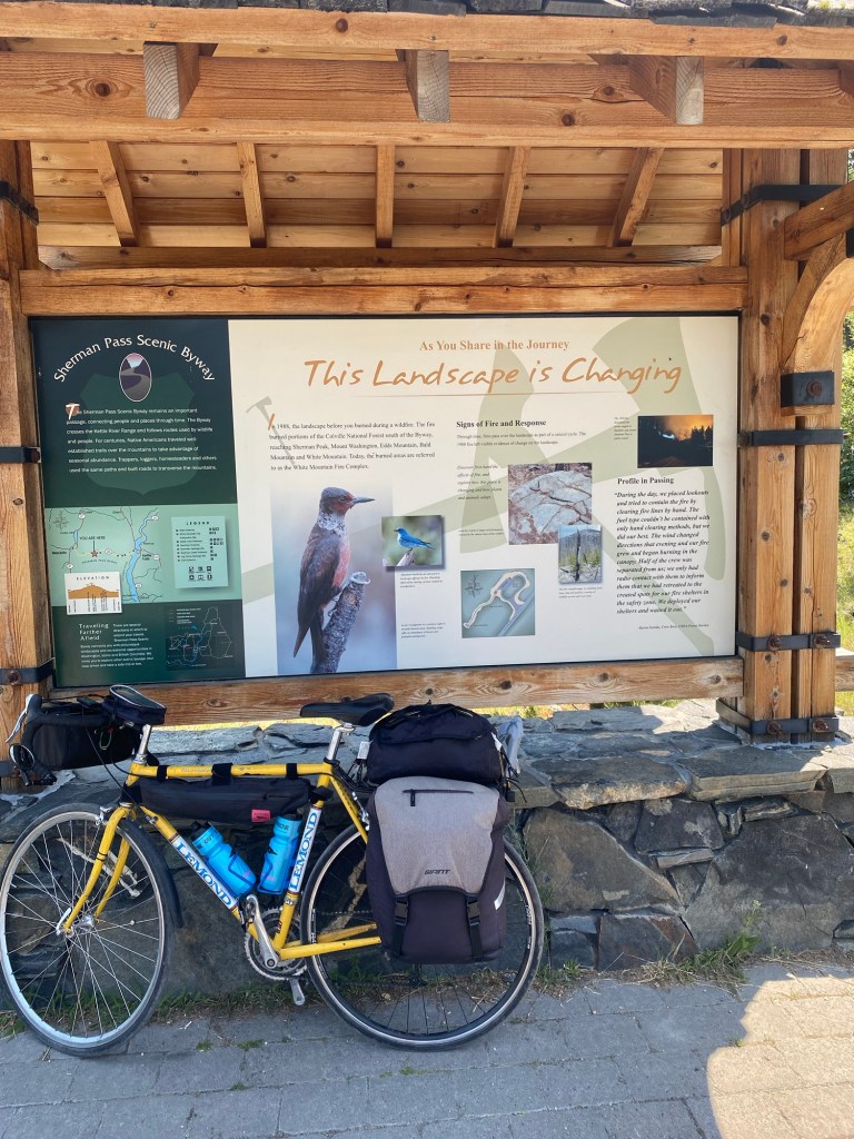
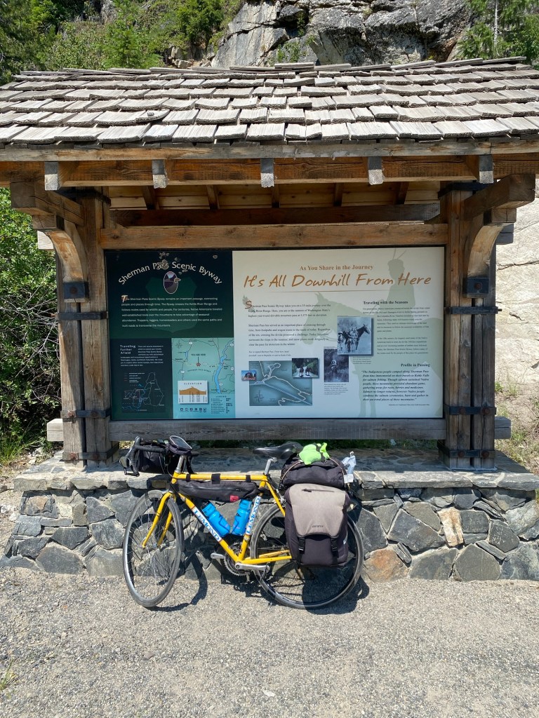
A number of signs I saw along the way help tell the story of today’s ride on a road known as the “Sherman Pass Scenic Byway.”
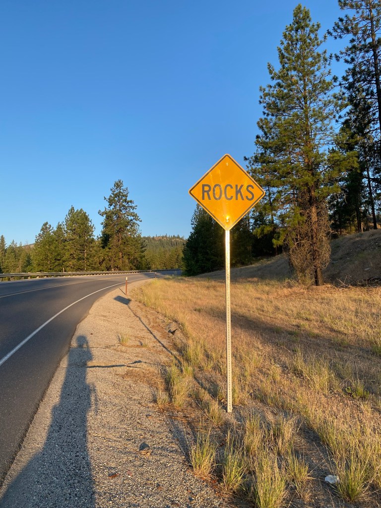
I’m used to seeing signs that refer to “Falling Rock.” I’m not sure whether a couple signs I saw today that just say “Rocks” mean something different.
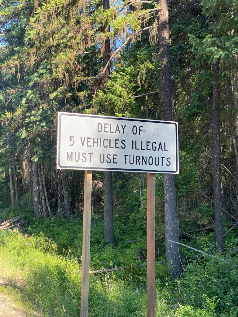
There were a number of these signs referring to slow vehicle turnouts. I made use of them as rest stops.
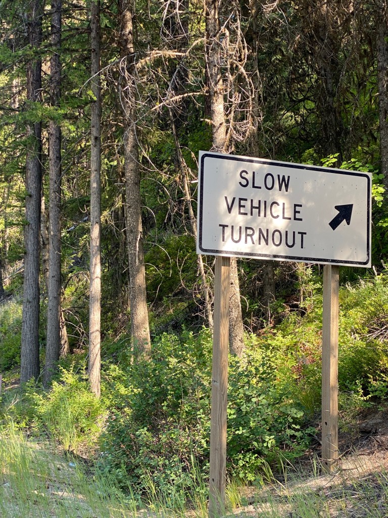
Even though this is a scenic drive, it is also used by commercial vehicles, especially logging trucks, and it is illegal to drive slowly and let traffic pile up behind you.
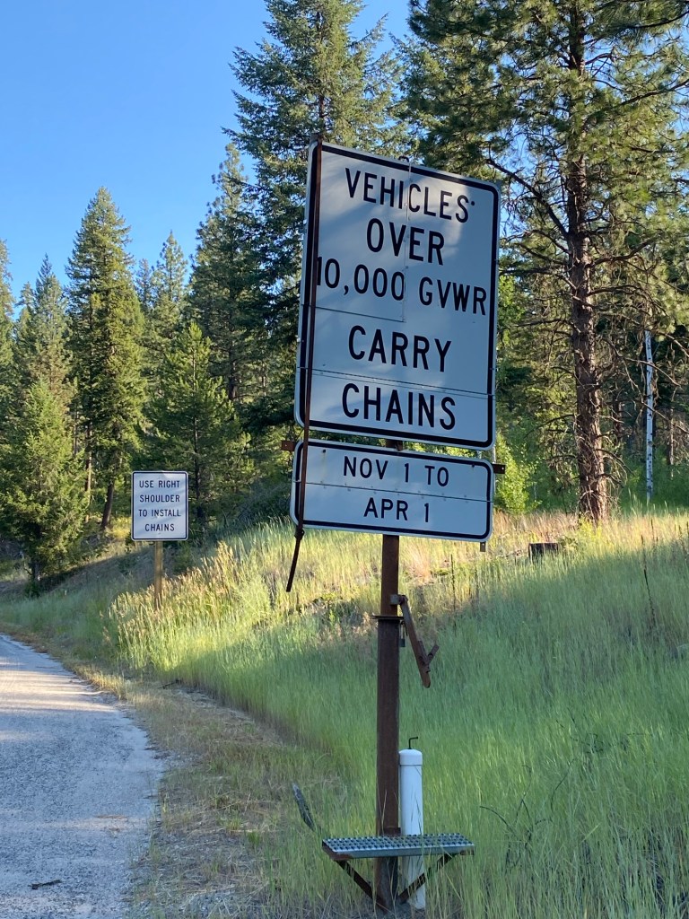
I have no idea what it would be like to drive a road like this in the winter. Heavier vehicles are required to install chains for certain portions of the drive.
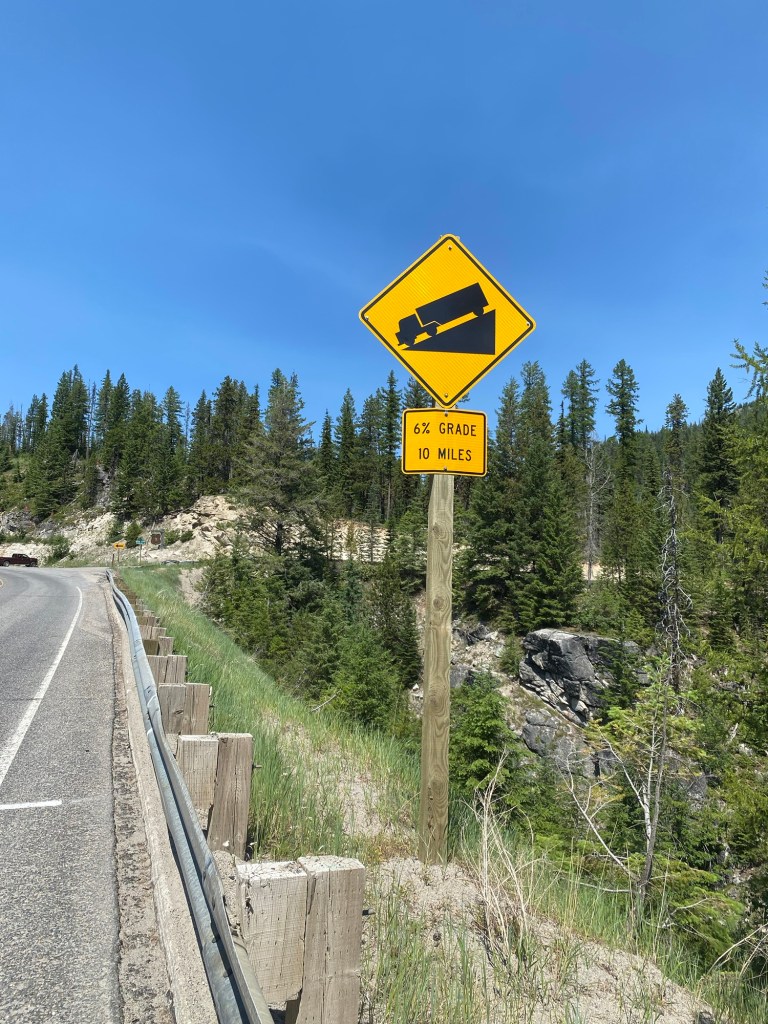
The 6% grade is nice coming down, but not so much fun on the way up.
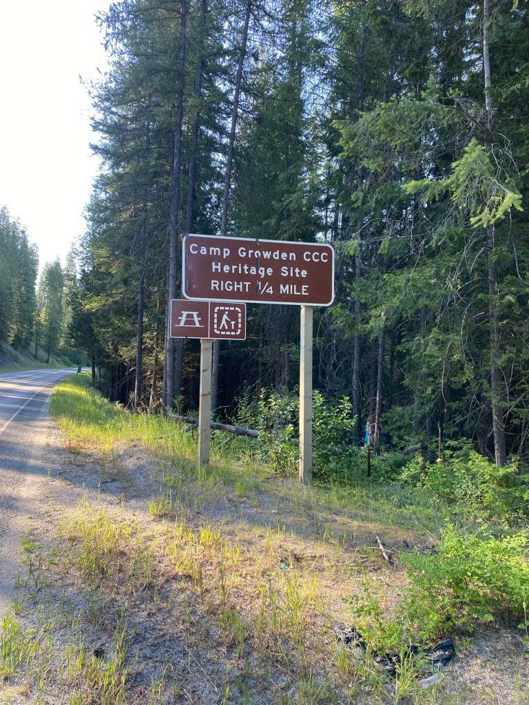
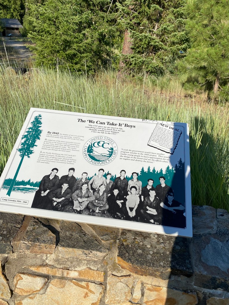
There were several sightseeing opportunities along the way featuring markers describing the history of the area and other interesting information. I stopped at all of them. Yes, I was interested in all these things, but I was also tired of pedaling uphill and looking for excuses to take a break. I will tell you about just a few of my favorites. Camp Growden, known as “Little America” because it housed Civilian Conservation Corps (CCC) participants from around the country, built roads, camps, trails, and buildings during the years of the Great Depression when the CCC was active.
This sign describes some of the activities of the CCC. Over a nine-year period, 300,000 young men participated in its work.
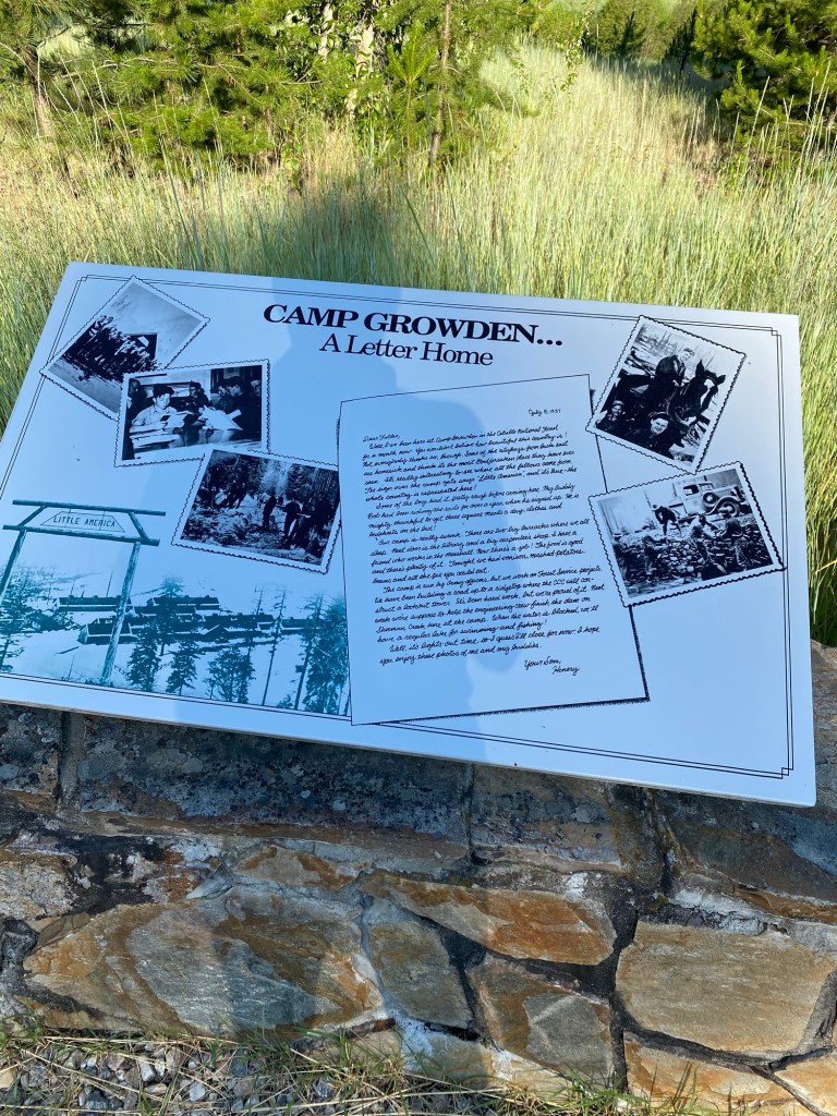
I thought this letter home written by Henery, a CCC worker, was interesting. Although he thought their camp was “really swank,” he noted that some of the “cityboys from back east are homesick and think it’s the most Godforsaken place they have ever seen.” It sounds like Henery was especially impressed by the food, which included all the pie you can eat.
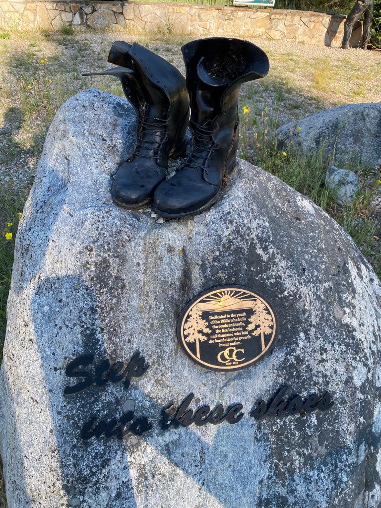
The inscription on this “step into these shoes” sculpture of CCC work boots reads “Dedicated to the youth of the 1930’s who built the roads and trails, the fire lookouts and dams and who laid the foundation for growth in our nation.”
I also stopped at this exhibit dealing with the history of early logging in the area.
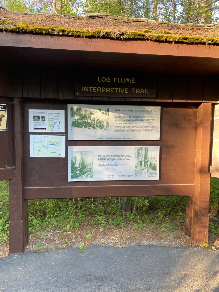
The exhibit includes a reconstructed log flume used to send logs down to the river.
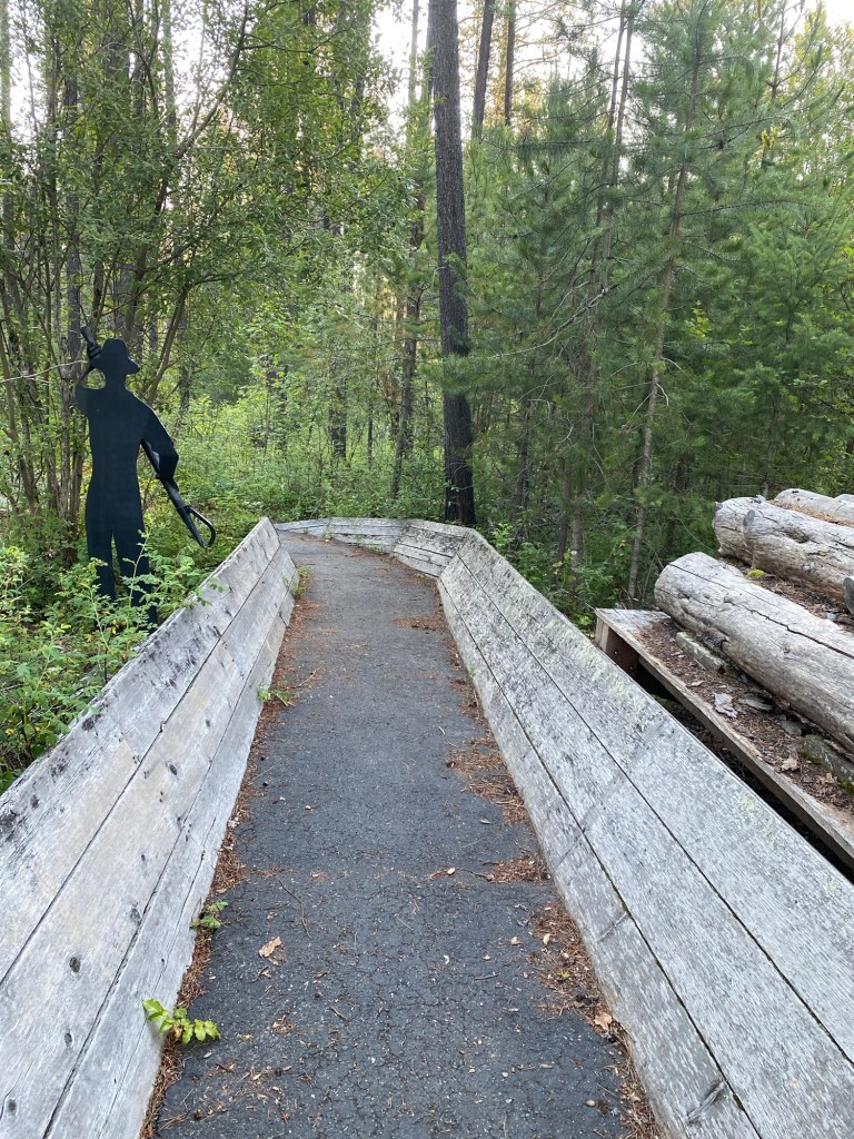
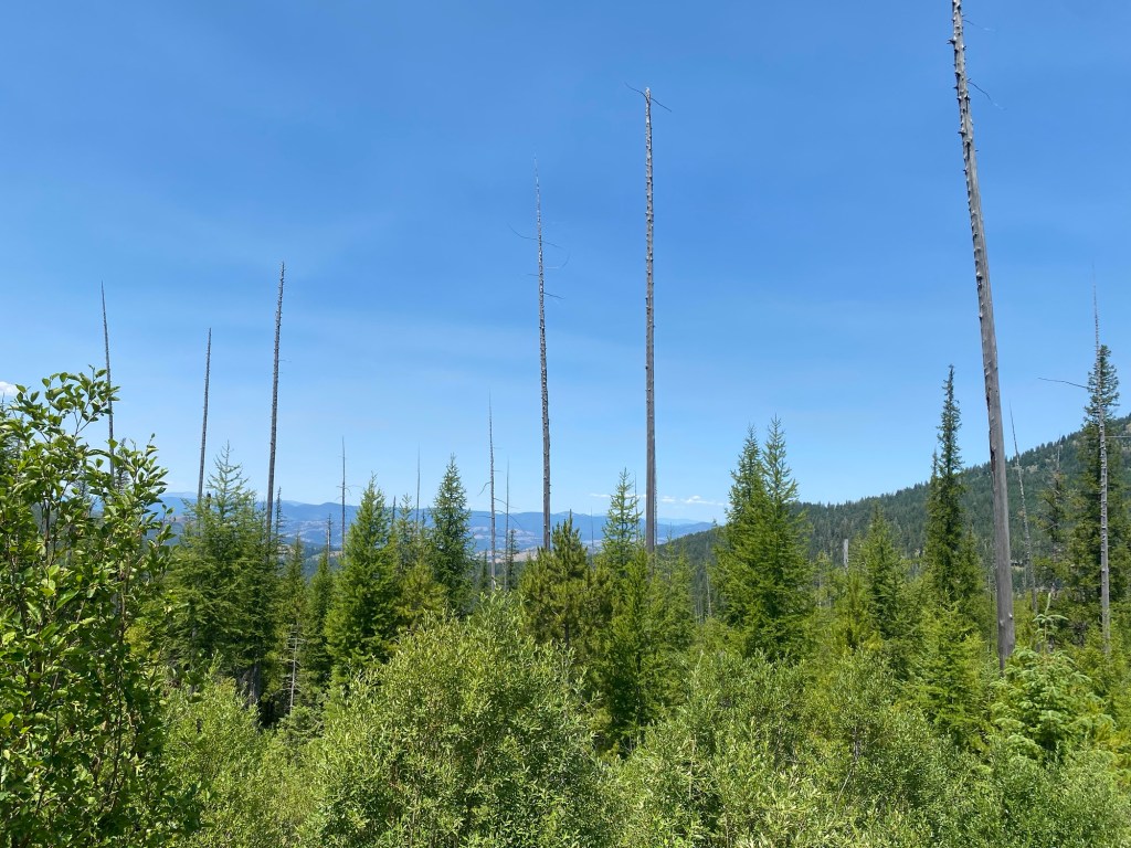
I also stopped at this display dealing with the aftereffects of a forest fire in 1988.
Trunks of trees damaged in the fire are still standing at this site.
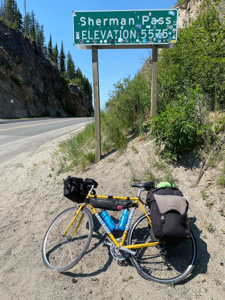
I reached Sherman Pass a little before noon. As you can see, the sticker phenomenon I’ve written about before has made its way to the Sherman Pass sign.
I was very ready for a downhill ride on the other side of the pass.
I had a bit of a scare when I was only a few feet away from the pass. I heard a loud “clunk” and my rear wheel seized up so that it wouldn’t turn. Fearing the worst (a loose or broken spoke that had twisted the wheel), I unloaded my bags to check it out and realized that my wheel had actually come out of the bike frame. I understand the “quick release” mechanisms on a bike wheel can come loose, especially when you hit some rough pavement. I was able to relock and tighten the wheel and all was well on my ride down the pass.
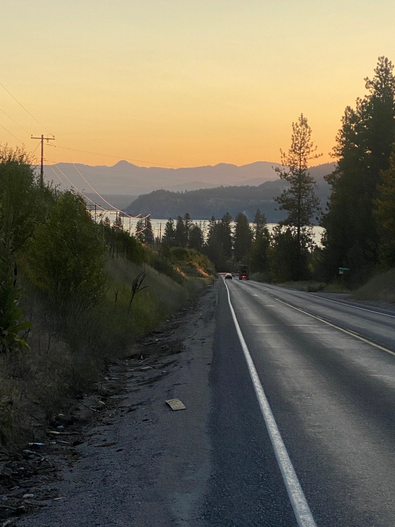
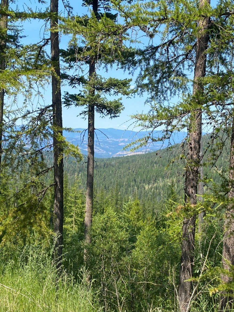
Here is a small sample of the scenery on my way down to Republic.
Tomorrow’s ride will take me about 40 miles to Tonasket, WA (population 1,032). Unfortunately, I will need to cross another sizeable mountain pass, Wauconda, to get there. Thankfully, it appears to be about half the size of the Sherman Pass, but it will undoubtedly keep me busy for a few hours. Once again, it will be warm tomorrow as the day wears on, so an early start is in order.

Leave a comment