Good news! Today (Fri., 7-19), I made it through the last two major pass ascents on my trip–the Washington Pass (5,477 feet) and Rainy Pass (4,855 feet). I’m also happy to report that although the Easy Fire is still ablaze, Hwy 20 remained open, and remarkably, the air quality today was quite good and vastly improved over the past few days. The climb up the passes was a real workout, but the path through the mountains was breathtakingly beautiful.
I was up at 4 a.m. at our hotel in Mazama (the Inn at Mazama) to get an early start and avoid the afternoon heat as much as possible. In providing a few photos from the trip up and over the passes, I’ll first share photos of a few signs I saw as I got started around 6 a.m.
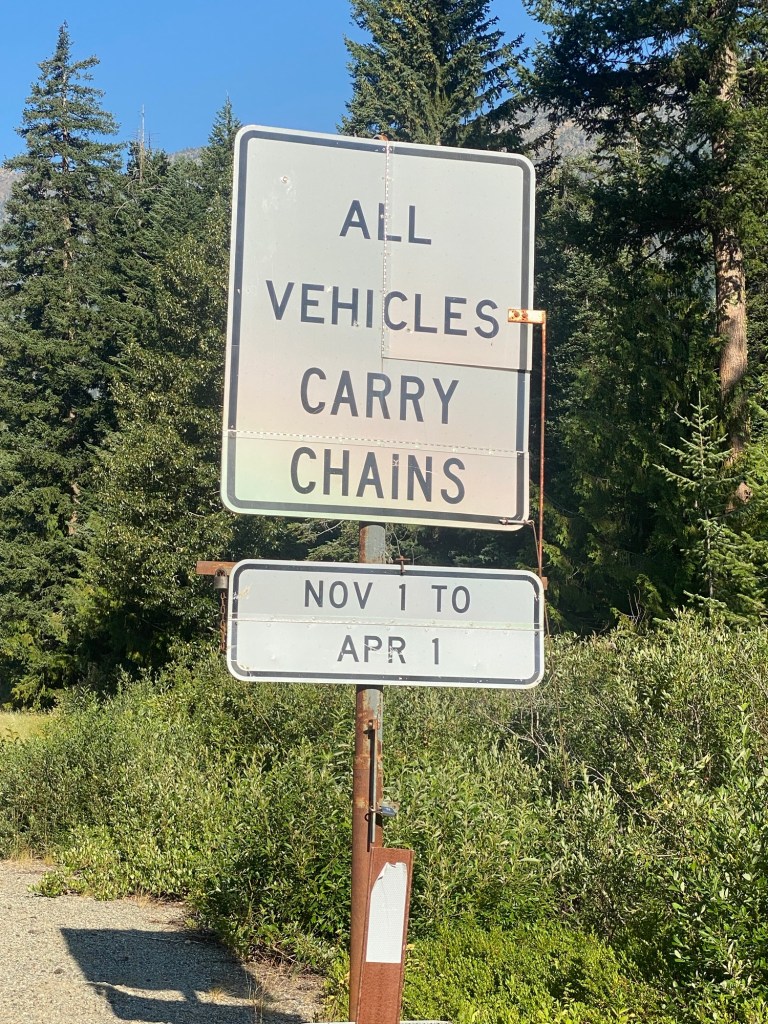
I thought it was interesting that the section of Hwy 20 up to Washington Pass requires all vehicles to have chains on hand from November 1 to April 1. Sherman Pass, the somewhat taller pass I crossed on 7/12, only requires them during that period for vehicles over 10,000 GDWR (Gross Vehicle Weight Rating). I’m not sure what accounts for this difference, but there were certainly some steep sections on this morning’s climb.
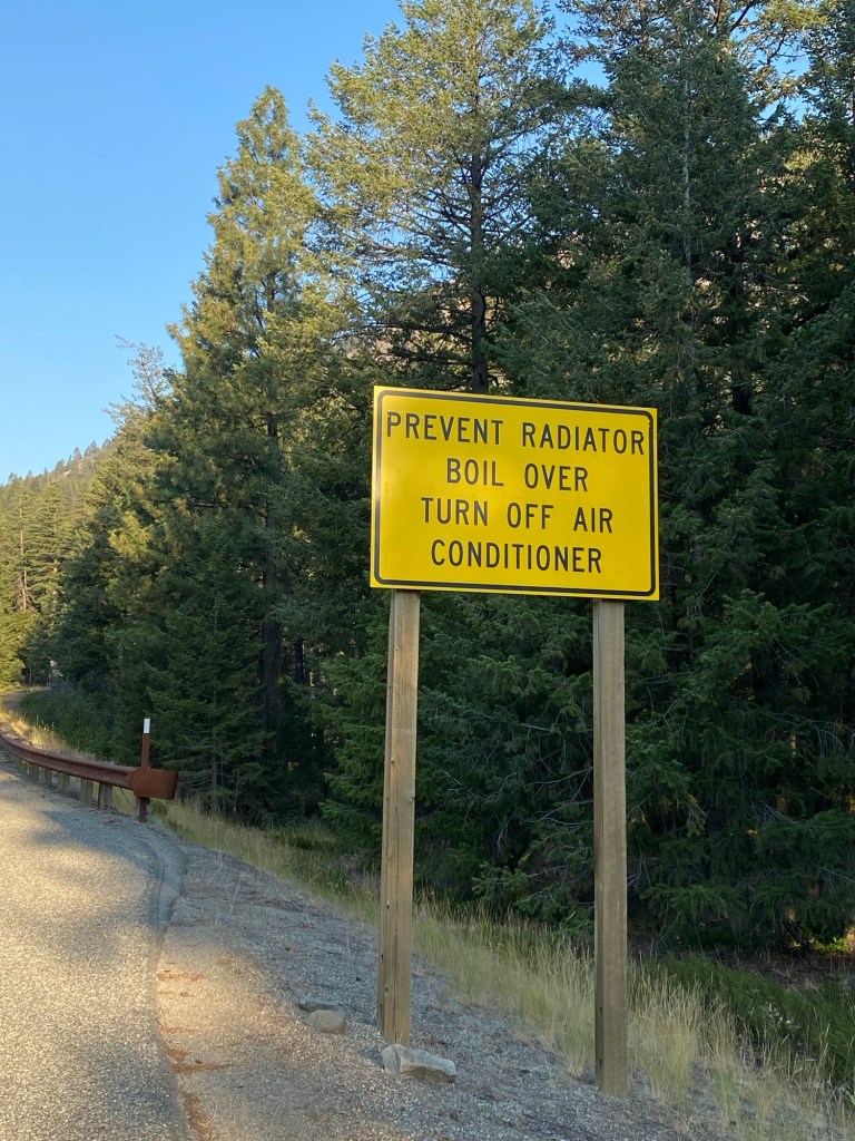
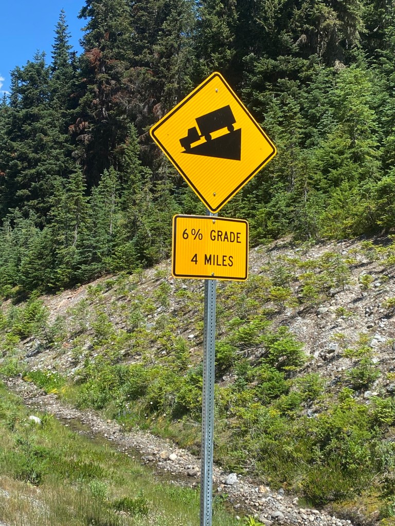
This sign about radiators overheating was also not reassuring to someone starting up the mountain on a bicycle.
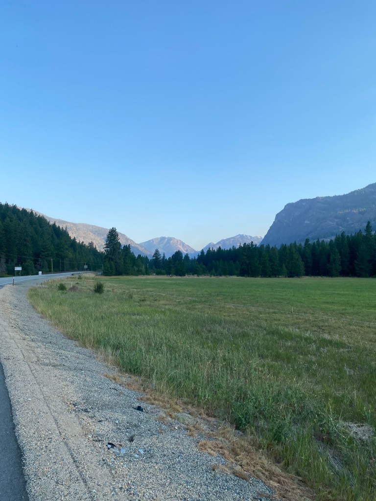
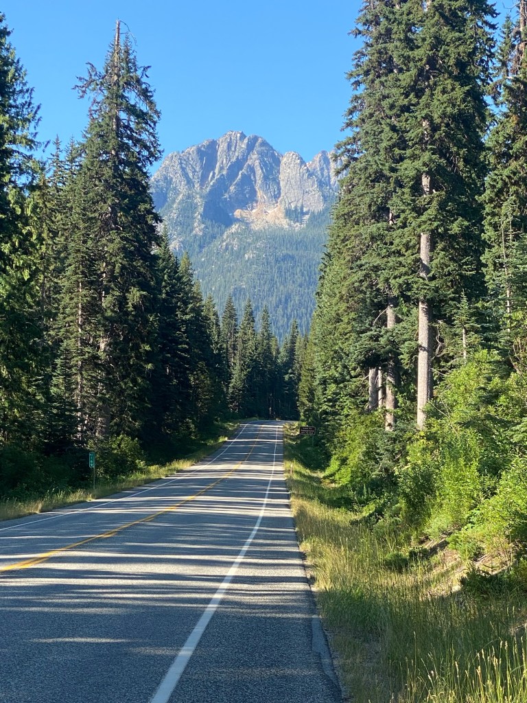
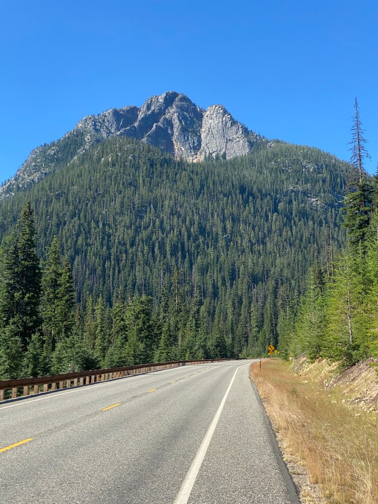
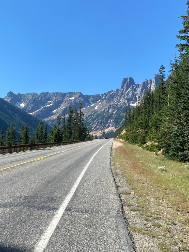
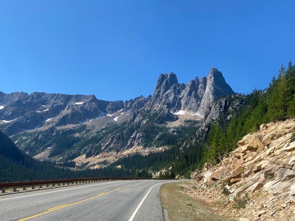
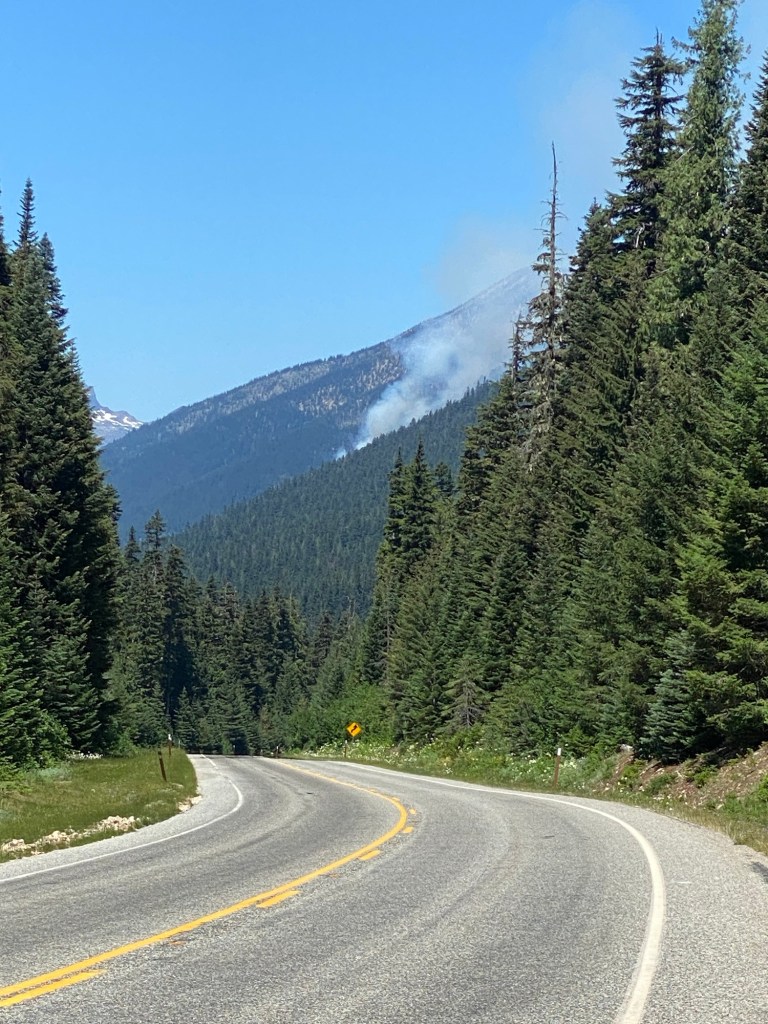
Here are some of the mountains of the North Cascades basking in the morning sun. At this point, I was still 8-10 miles from the pass.
I will shortly give you a much closer look at the mountains as I approached them, but also want to share a couple photos of the creeks I crossed. There were a number of them, including one named Early Winters Creek.
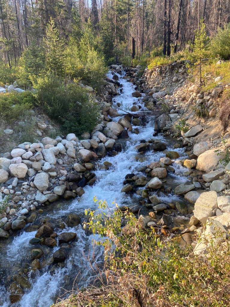
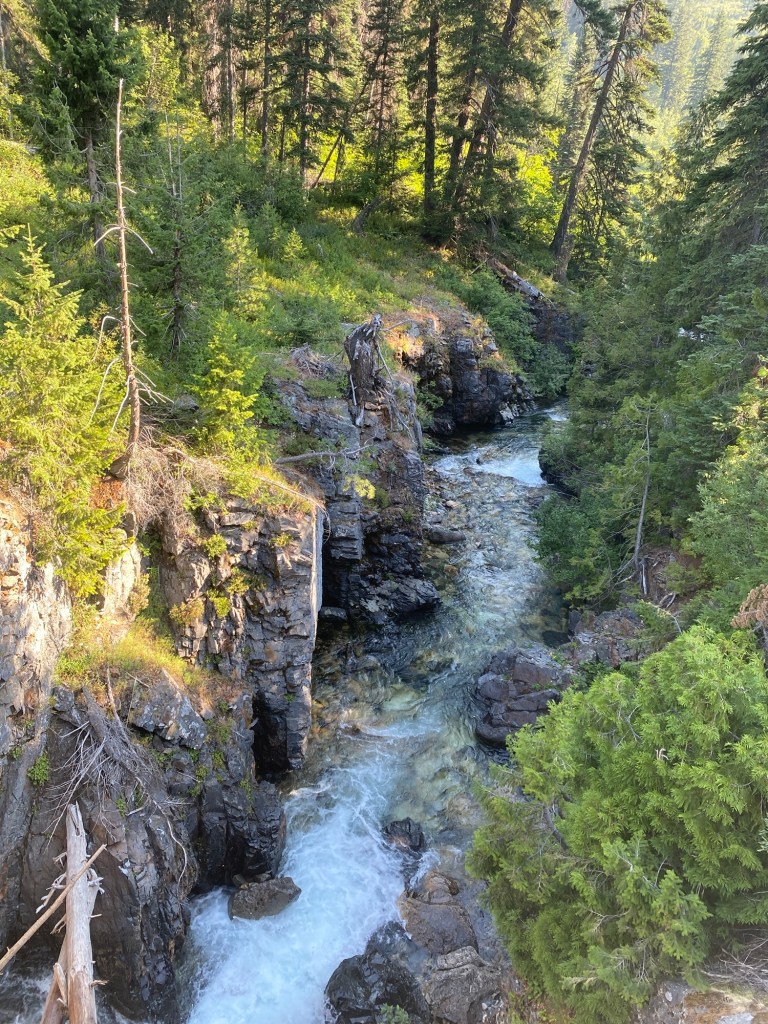
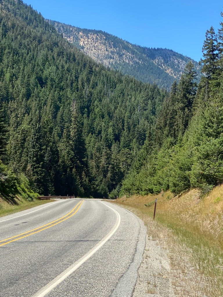
Most of the route up to the pass was heavily wooded, and there is still snow on the taller peaks.
As I was climbing up one of these stretches, I heard a rustling sound in the trees off to my right and figured it was one of the many deer I’ve been seeing. I glanced in that direction and was shocked to see a bear, only about 30 feet away. He didn’t appear to be looking at me and was heading in the opposite direction, but I pedaled even faster, wanting to put as much distance as I could between us. I’m not sure what kind of bear it was, but its coat was a rust color and I think perhaps it was a Grizzly.
As I was getting close to the pass, I turned around to take this photo of some of the switchbacks I had just pedaled up.
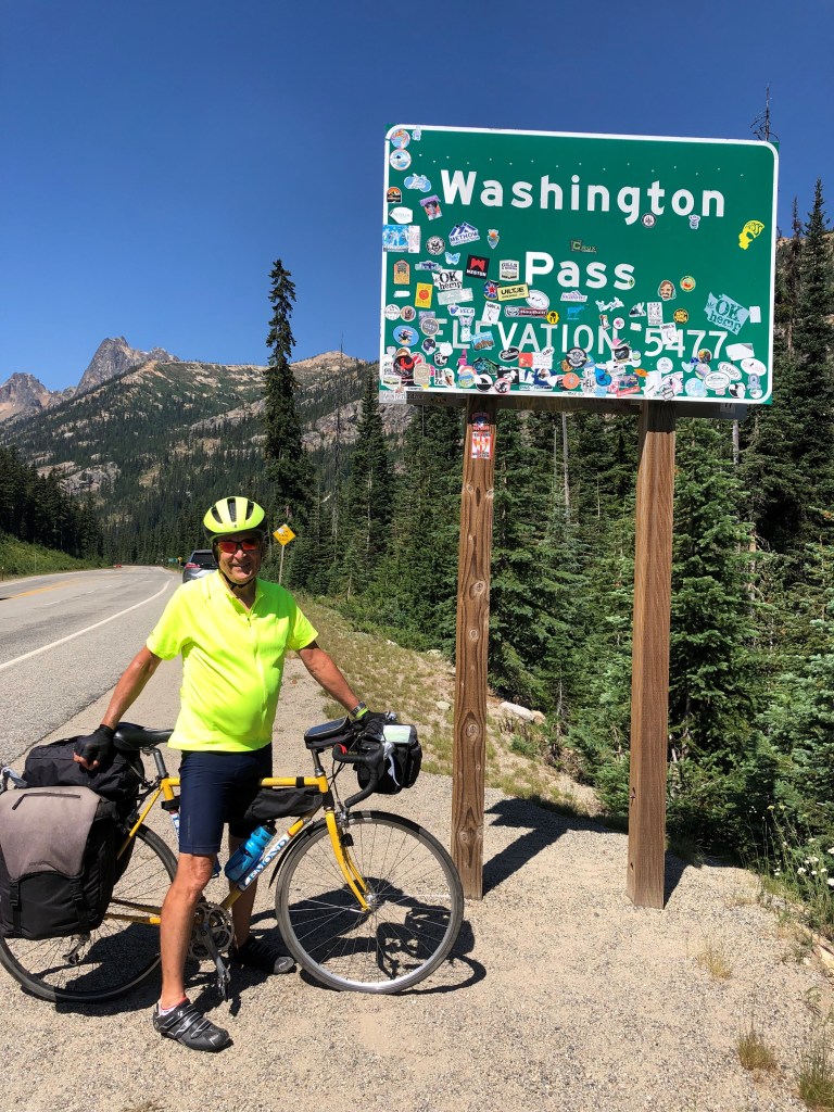
Unbeknownst to me, as I was climbing up one of these turns, my Chief Navigator/sag wagon driver Trudi captured this photo of me off in the distance.
And here is a photo she took of me as I made it to the top of the pass. As you can see, the eastern side of the sign is full of stickers.
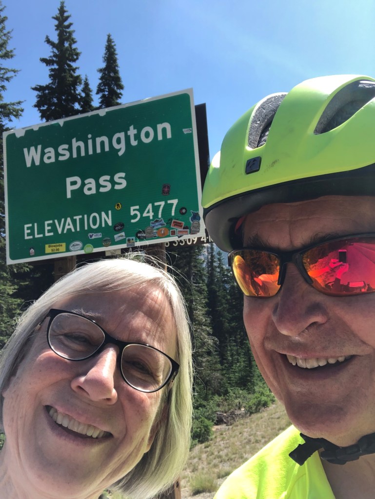
We took this selfie in front of the western side of the sign, which was much cleaner.
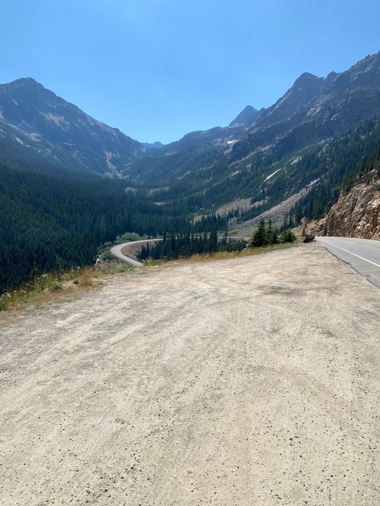
After crossing Washington Pass, I enjoyed an exhilarating but brief ride downhill before needing to start climbing Rainy Pass. Thankfully, the westward hike up Rainy was not very long.
When we got to the section of the road that had been closed yesterday, I talked to Forest Ranger Mike Doyle about the fire ahead. Mike was a very friendly guy, and we had an enjoyable conversation about his work and my bike trip. Although the signs in front of us warned there was to be no stopping for the next 10 miles, he said it would be okay for me (or Trudi in her sag wagon) to stop as needed. He said their main concern was safety, and they didn’t want people getting out of their cars and wandering into the woods in the area near the fire.
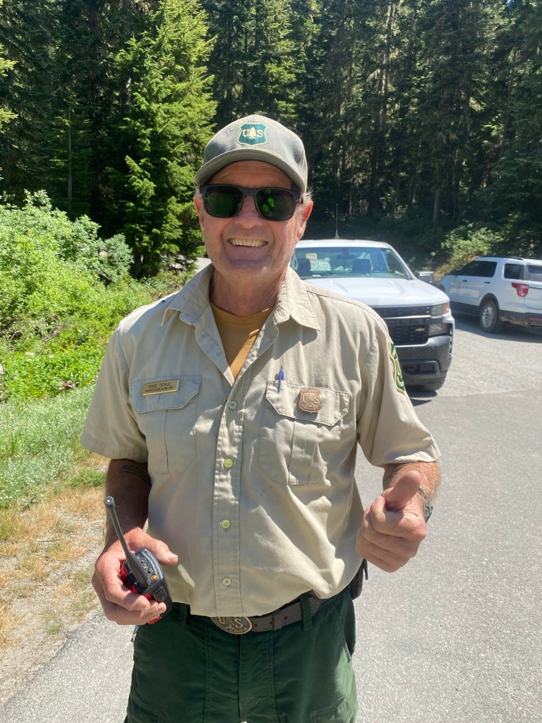
I commented to Mike about the air quality, which seemed quite good, especially considering how close we were getting to the fire. He agreed and explained that the smoke from a fire will sometimes dissipate quickly, and other times will linger for some time. He said it is very difficult to predict how air quality will be impacted by a fire.
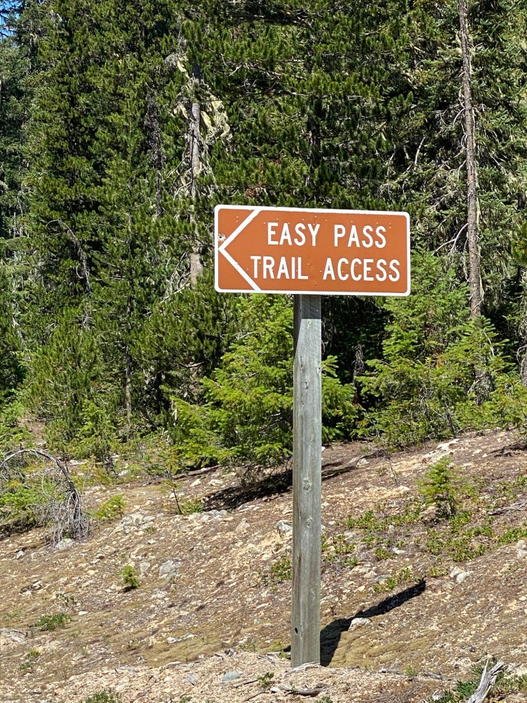
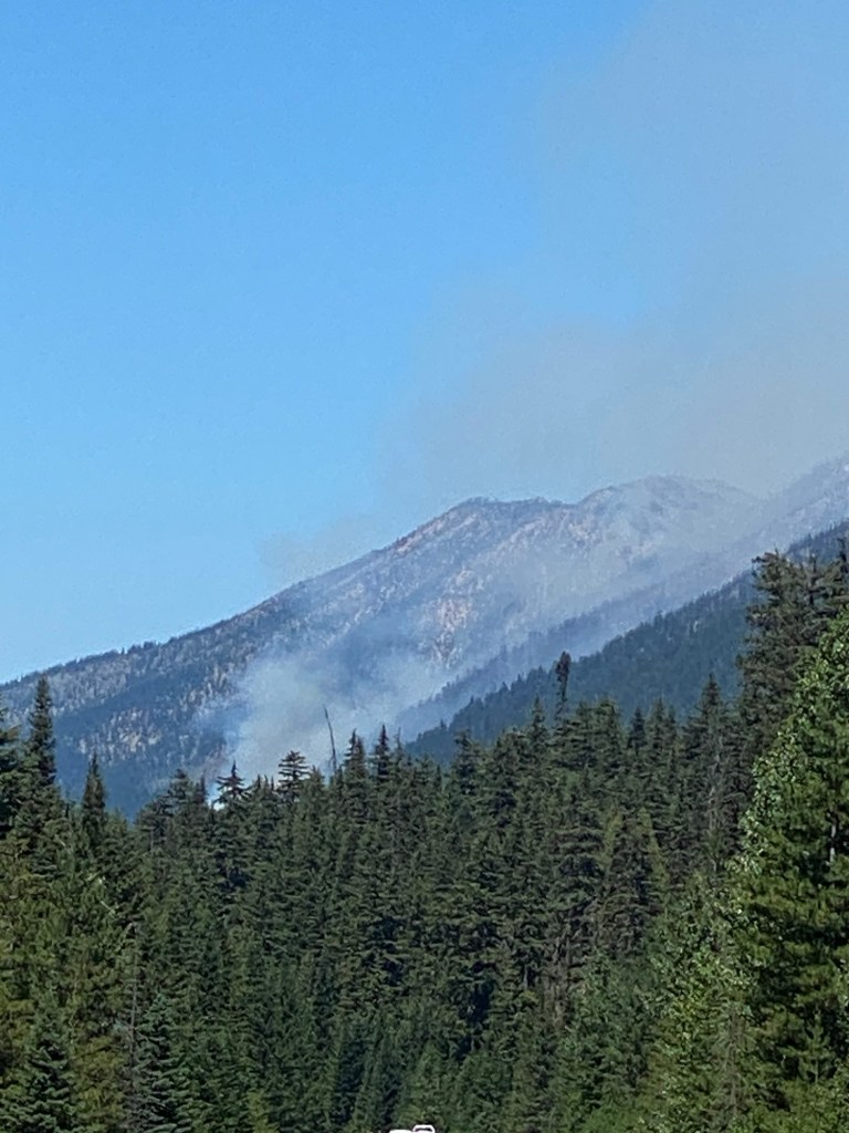
Here was a sign for the Easy Pass Trail. As I mentioned yesterday, the fire nearby is named the Easy Fire.
Here are a couple views of the fire as I got closer.
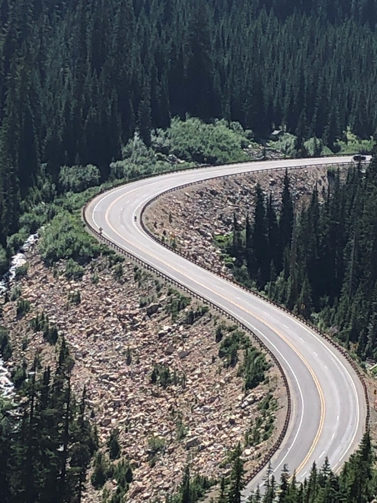
I was blessed with about 15 miles downhill after crossing Rainy Pass.
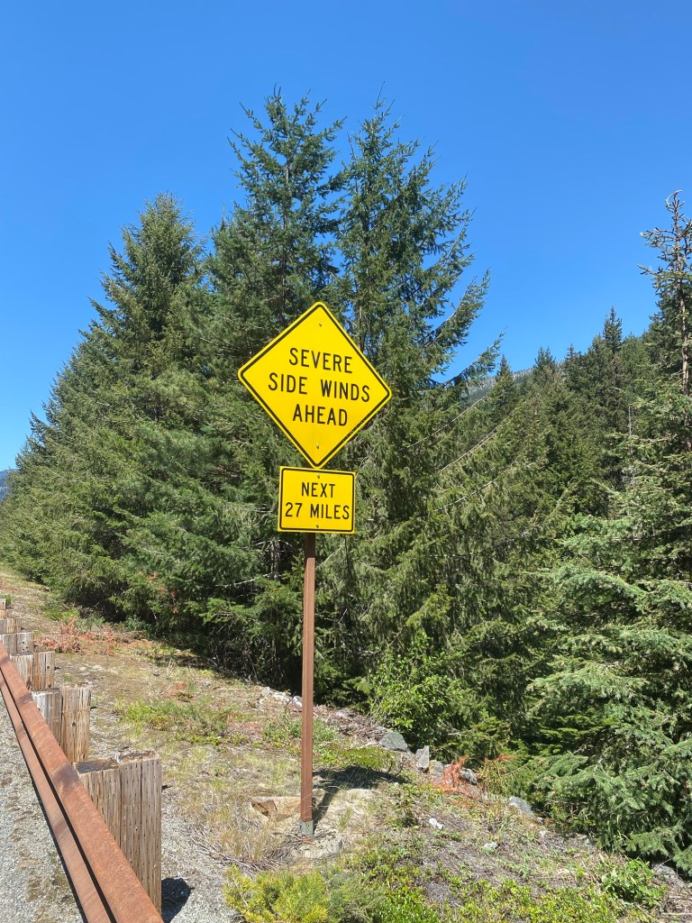
Riding downhill is great, but there always seems to be something to worry about, as this “Severe Side Winds” sign will attest.
The views on the way down were also quite beautiful.
I rode about 42 miles for the day and was on the bike for about eight hours. I was tired but felt really good about having made it through the remaining two big mountain passes. I stopped at the Canyon Creek Trailhead, about five miles east of the Ross Lake National Recreation area.
There are very limited services for the 70-80 mile stretch between Mazama and Marblemount, WA (pop. 203) and lodging options are limited to a few campgrounds. Although I had a tent and sleeping bag and was prepared to use them, the tent would have been a bit small for the two of us. We opted instead to load my bike in the car and stay at an Airbnb in Marblemount. Trudi will return me to the Canyon Creek Trailhead in the morning to bike about 45 miles from there back to Marblemount for a second night.

Leave a comment